Don't you want to view the scenery of the islands in the Seto Inland Sea from the sky like a bird?
On the Kasaoka Islands' Shiraishi-jima, there is a trekking course that continues along a ridge at an elevation of about 150 meters.
While walking in the mountains, you can enjoy a breathtaking 360-degree view of the Seto Inland Sea.
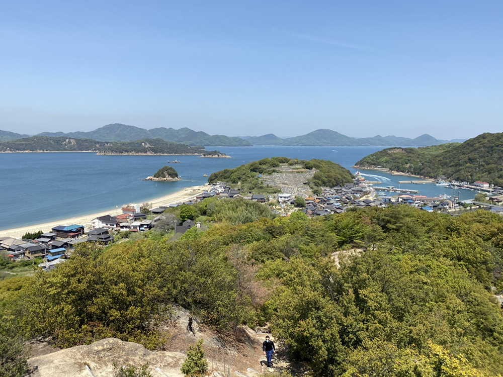
On clear days, the view is so good that you can see Mt. Daisen in Tottori and Mt. Ishizuchi in Shikoku.
Additionally, the trekking course features giant rocks that can accommodate about 30 people and unique mountain faces with cracks resembling a go board.
You will be amazed by the natural beauty created by nature.
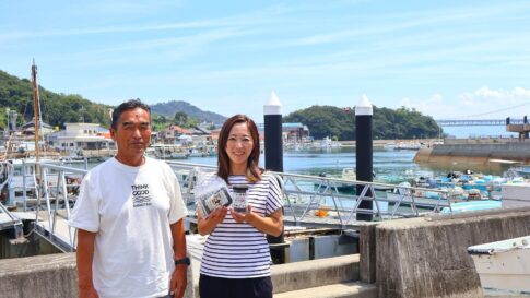
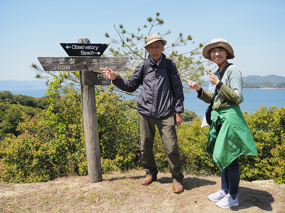
I enjoyed trekking on Shiraishi-jima with Amano Tadashi.
The information provided is based on an article published in May 2021. Please note that it may differ from current information.
About Shiraishi-jima, Kasaoka Islands
What kind of island is Shiraishi-jima?
The Kasaoka Islands are a group of 31 islands, large and small, floating in the Seto Inland Sea in the southwestern part of Okayama.
Among them, there are 7 inhabited islands, one of which is Shiraishi-jima.
Shiraishi-jima is the second largest island in the Kasaoka Islands, following Kitagi-shima.
It is also the second closest island to the mainland of Kasaoka City, after Takashima.
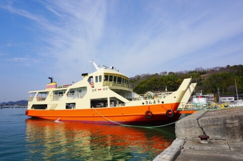
From the port of Kasaoka City, it takes about 35 minutes by ferry (about 25 minutes by high-speed boat). You can fully enjoy your island trip along the way.
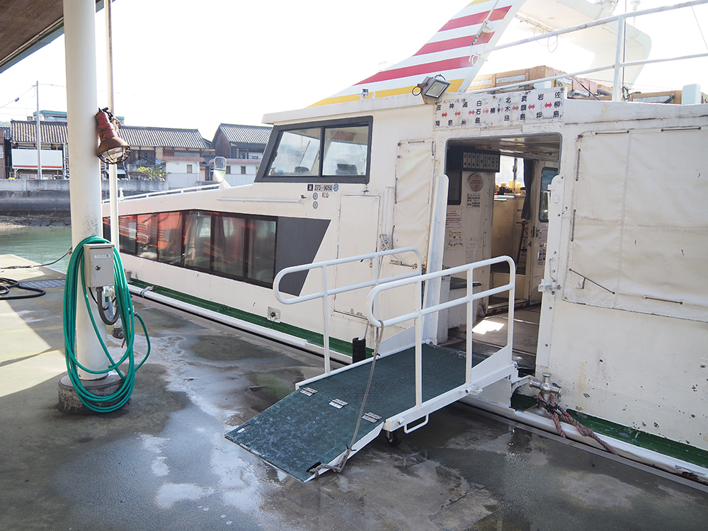
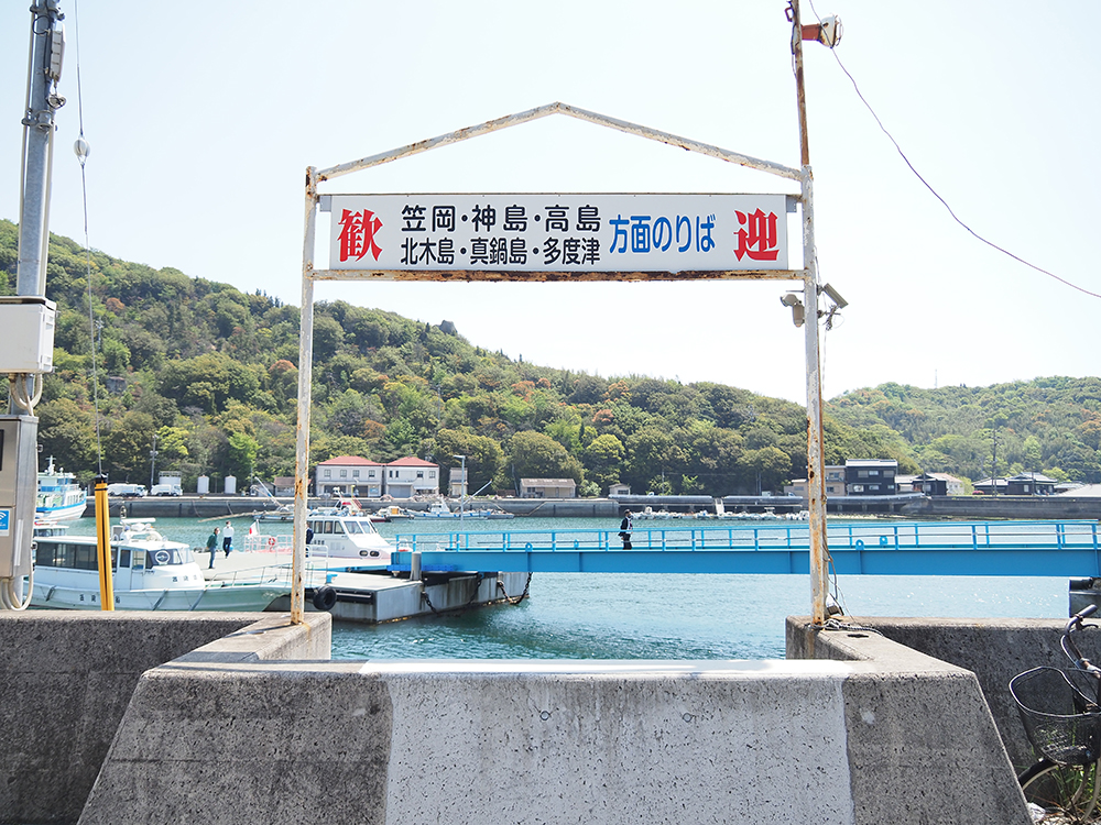
This time, I took a regular ferry departing from Sumiyoshi Port in Kasaoka City, and after about 35 minutes, I arrived at Shiraishi Port.
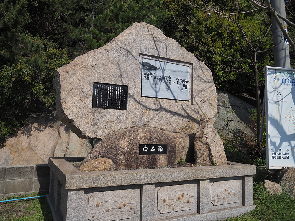
Speaking of Shiraishi-jima, the bon odori dance "Shiraishi Odori," designated as an important intangible folk cultural asset by the national government, is famous.
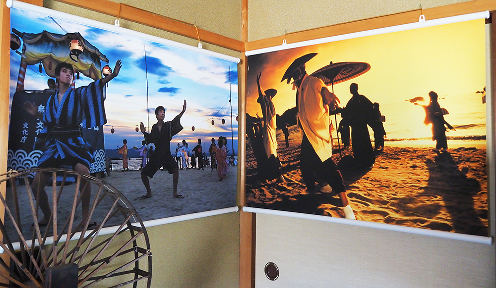
It is said that the dance originated from the islanders mourning the war dead who washed ashore during the Genpei War.
The dance features multiple styles performed to a single melody, including male dance, kasa dance, female dance, and fan dance, with a total of 13 different choreographies.
It is a rare dance even nationwide.
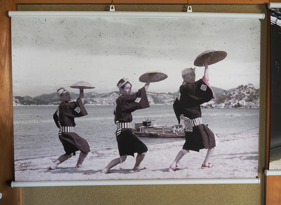
In 2020, it was canceled due to the spread of the novel coronavirus, but the tradition of dancing Shiraishi Odori continues every year from August 13 to 16 at the Community Center square and Shiraishi-jima Beach as part of the Obon festival.
And there may be people who have been to Shiraishi-jima for swimming.
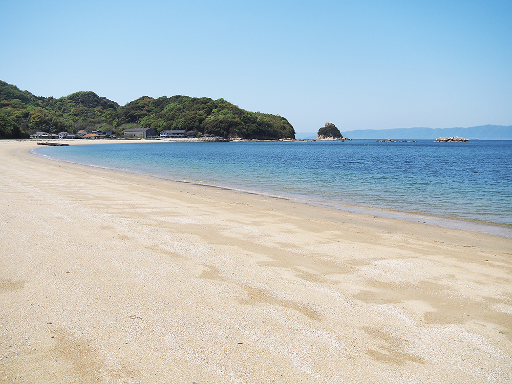
The beautiful clear sea at Shiraishi-jima Beach features a sandy beach that stretches for about 500 meters.
Next to the sandy beach, there are guesthouses and beach houses, making it lively with many families during the summer.
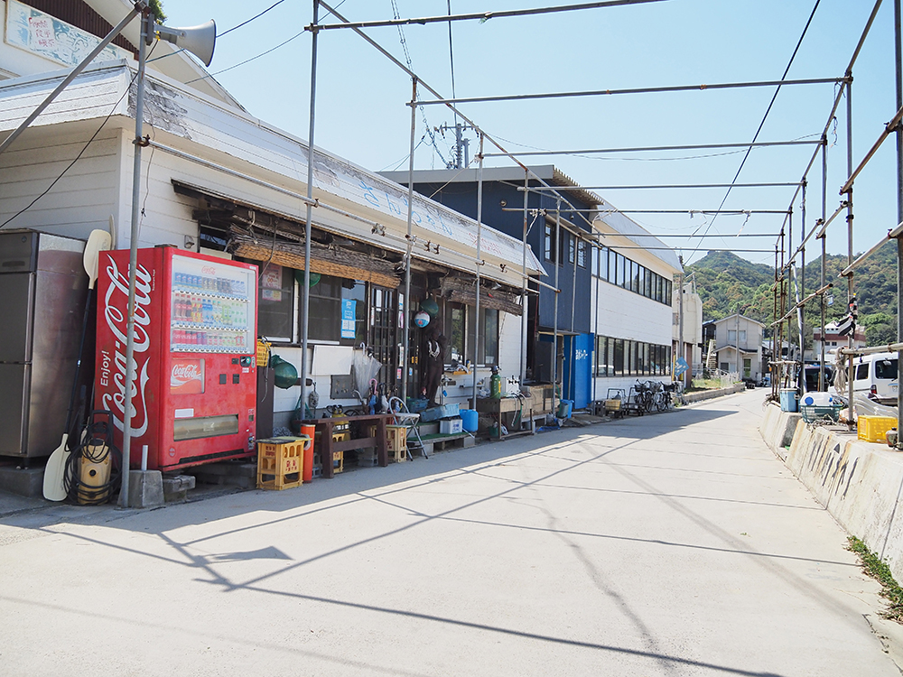
Therefore, Shiraishi-jima may evoke an image of "summer," especially swimming.
However, trekking, which can be enjoyed even outside of summer, is also recommended.
Shiraishi-jima Trekking
Trekking is walking while enjoying the mountain scenery.
In contrast to "mountaineering," where the goal is to reach the summit, trekking is about enjoying walking in the mountains without being fixated on reaching the top.
The central part of Shiraishi-jima features a ridge at an elevation of about 150 meters, making it perfect for trekking with great views.
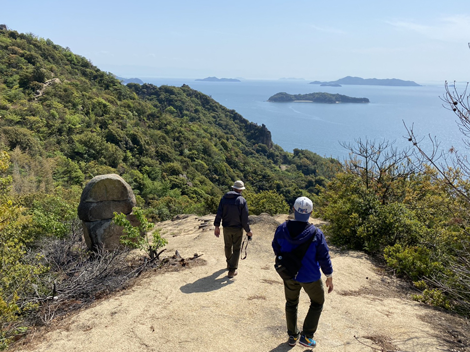
I went trekking with Amano Tadashi, who was born and raised on Shiraishi-jima.
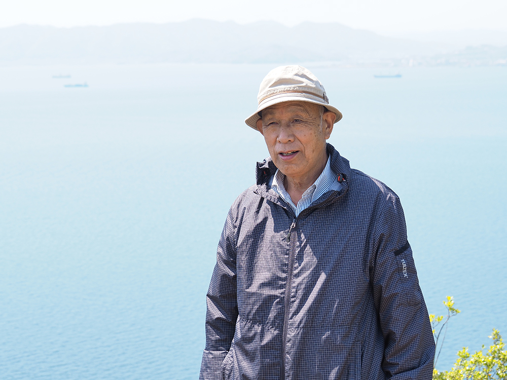
Amano is also involved in the preservation activities of Shiraishi Odori and serves as the head of the Shiraishi-jima Community Center.
For Amano, the mountains of Shiraishi-jima have been a playground since childhood.
He taught me a lot about the past and present of Shiraishi-jima.
Here are some points to note when trekking on Shiraishi-jima:
- Wear non-slip shoes and comfortable clothing
- Since many paths have little shade, take measures against sunlight such as hats and sunscreen
- Bring drinks
- There are no toilets in the mountains, so make sure to use the restroom beforehand
This time, we walked the following route.
- Shiraishi-jima Beach
- 88 Shrines
- Hato Rock
- Takayama Observatory
- Oodama Rock
- Yoroi Rock
- Buddha Relic Tower
- Kairyuu-ji Temple
- Shiraishi-jima Port
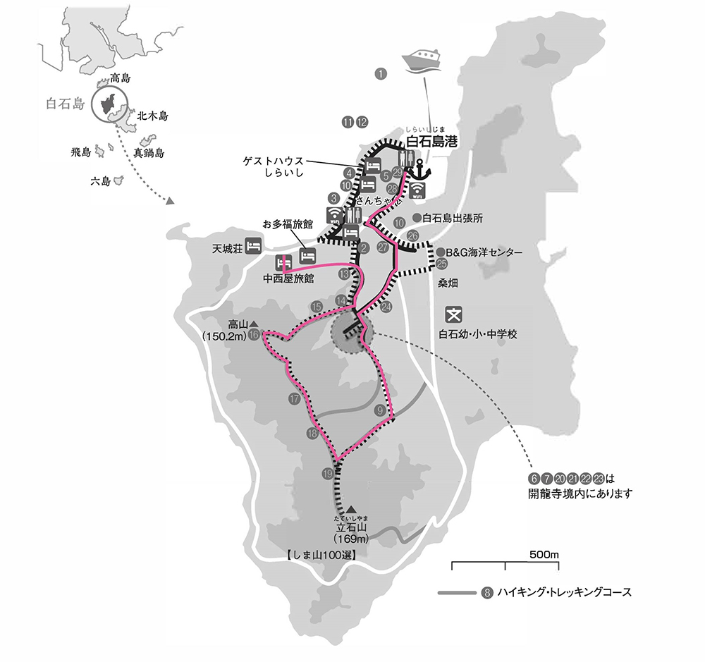
Maps and brochures for Shiraishi-jima Trekking can be obtained at souvenir shops near Shiraishi-jima Port.
The time taken was about 4 hours for a trekking beginner walking slowly.
Since we stopped for lunch and took many photos along the way, I think some people might finish the same route faster.
The estimated time is about 2 to 3 hours.
The path to the highest point on Shiraishi-jima, Tateishi-yama, is said to be for intermediate hikers, so we did not go this time.
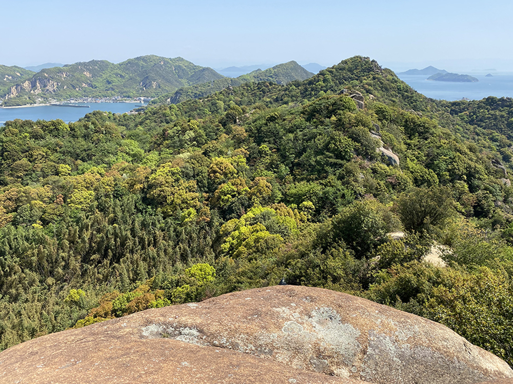
If you are short on time, I recommend going to the viewpoint "Hato Rock" and then turning back.
You can enjoy it in about an hour round trip.
Exciting! Shiraishi-jima Trekking
Starting from Shiraishi-jima Beach
It is about 750 meters from Shiraishi Port to Shiraishi-jima Beach. It takes about 9 minutes walking west.
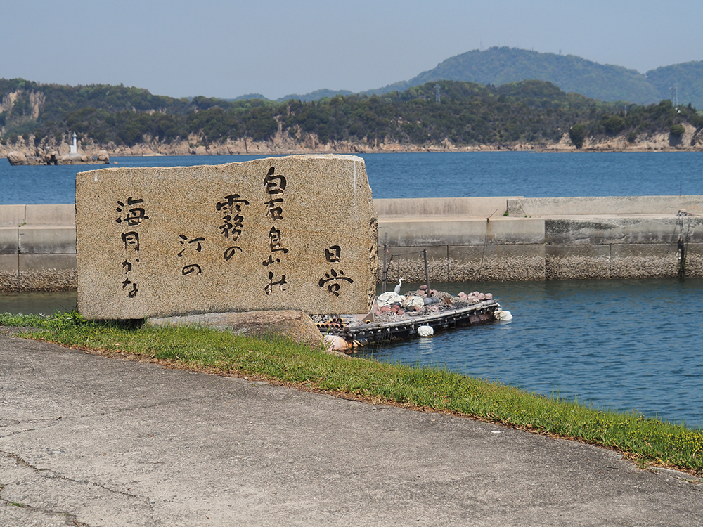
Let's walk while enjoying the view of the sea.
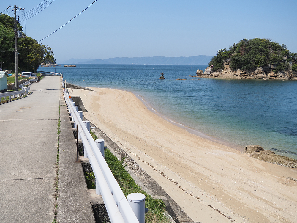
As you proceed straight along the sandy beach of Shiraishi-jima Beach, you will see "Nakanishiya Ryokan" on your left.
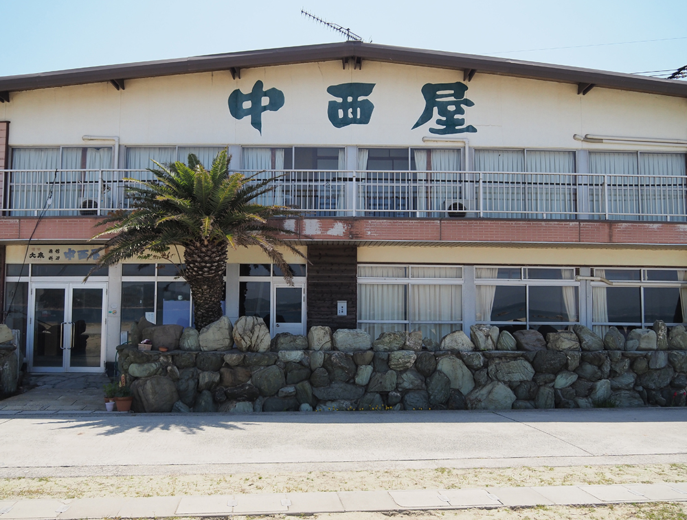
The path to the right towards Nakanishiya Ryokan is the entrance to the mountain.
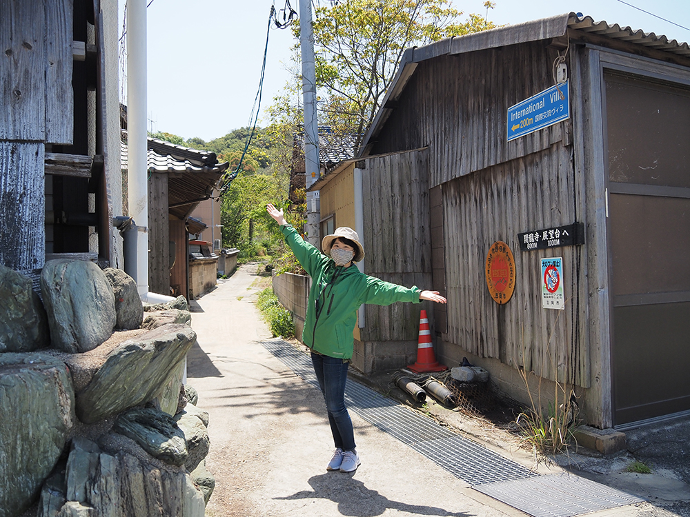
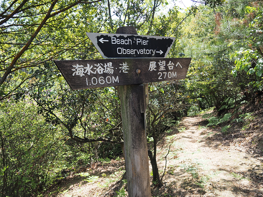
There are wooden signposts at various points, so use them as markers while walking.
Near the entrance of the trekking route, there is a white signboard with a QR code.
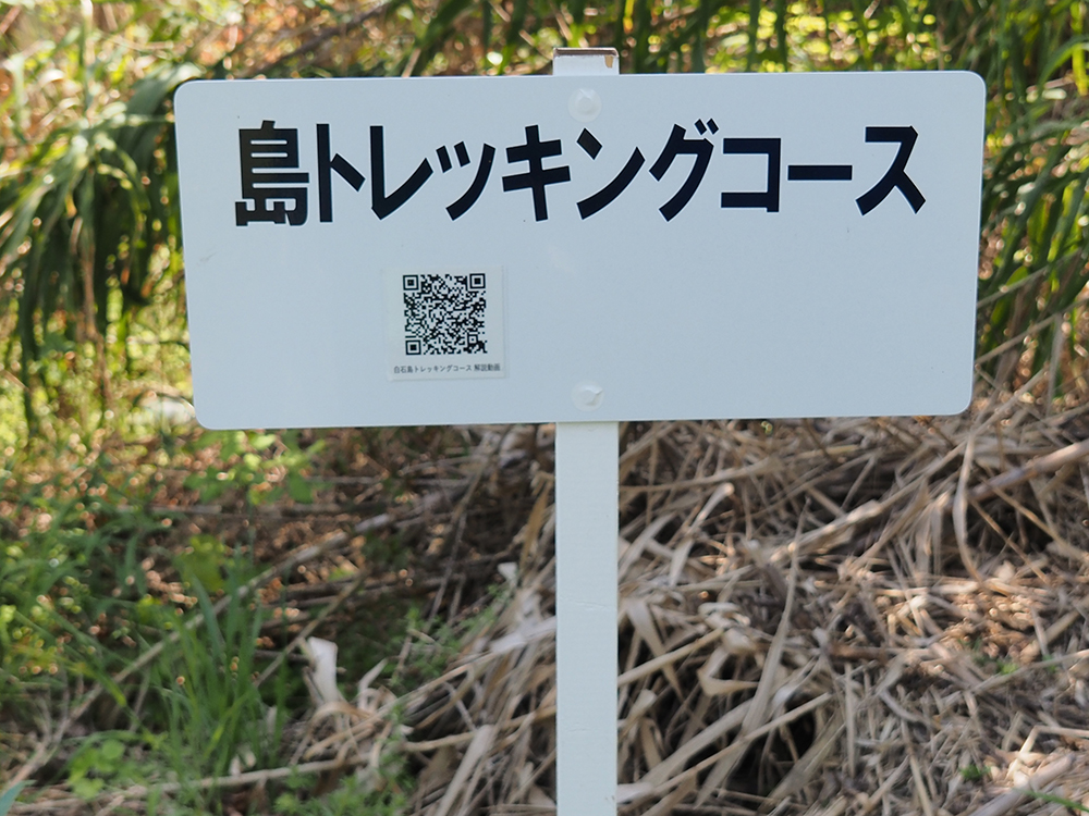
By scanning it, you can watch a video about Shiraishi-jima Trekking featuring Amano.
88 Shrines
Along the way, Amano told me about a recommended route where there are no signposts.
If you proceed left past the white building, you will enter a path overgrown with trees.
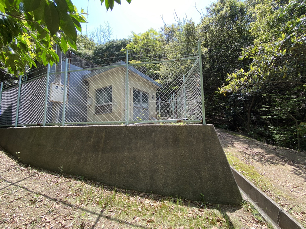
This area used to be a terraced rice field.
In the past, firewood was used as fuel, so there were fewer trees in the mountains.
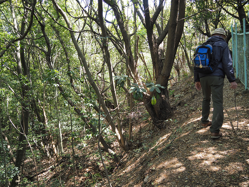
From 1947 to 1955, Shiraishi-jima was an independent municipality known as Shiraishi-jima Village.
At that time, it is said that about 2,400 people lived there.
As of the end of March 2021, the population of Shiraishi-jima is about 420 people.
The scenery must have changed dramatically.
A shrine appeared on the right.
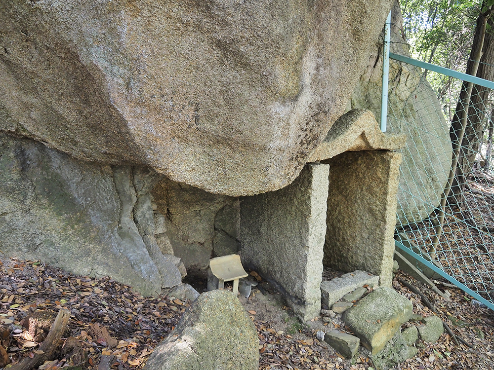
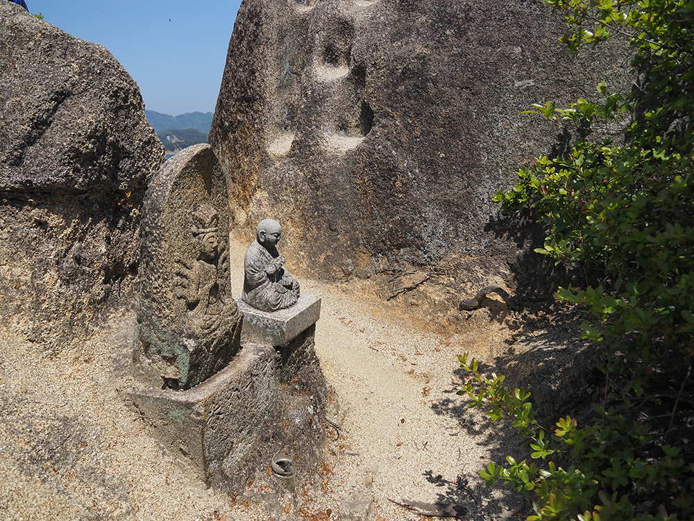
It is one of the 88 sacred sites on Shiraishi.
There are many shrines built beside giant rocks on the island. Stone and faith are intertwined.
After walking through the forest for a while, we emerged onto a ridge. A path with a good view continues.
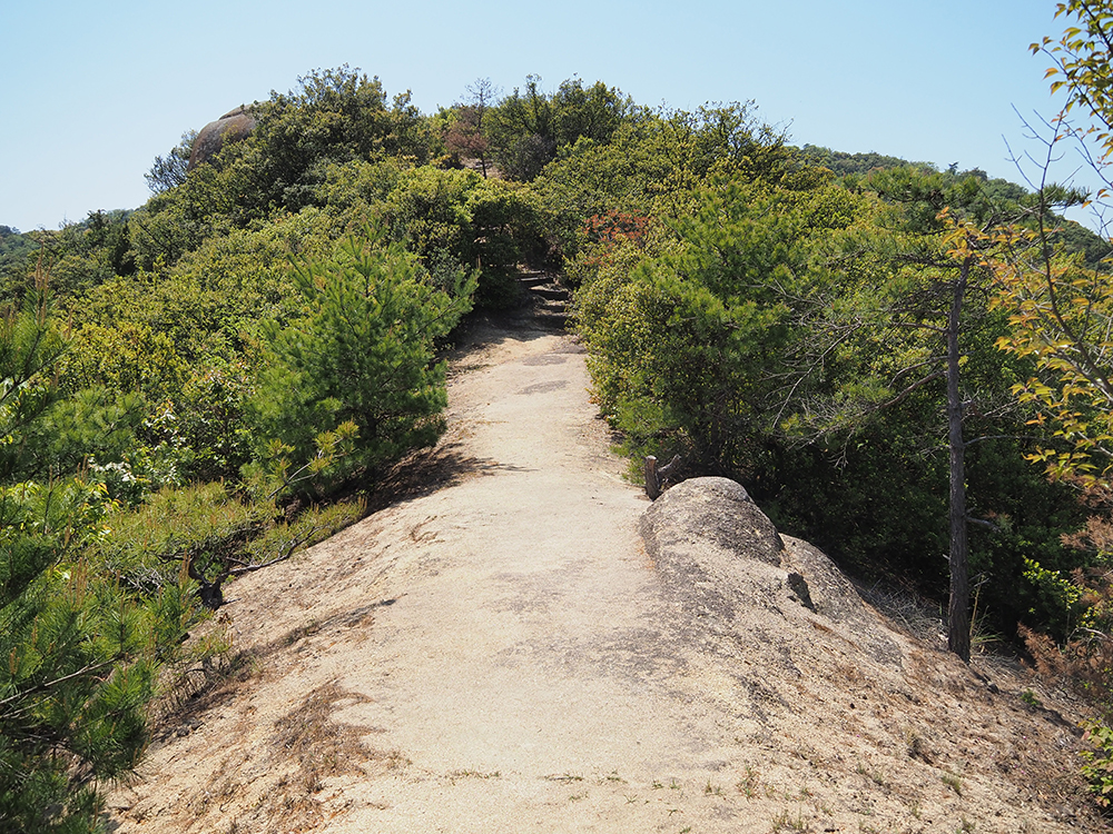
About 35 years ago, there was a large forest fire on Shiraishi-jima, and most of the trees burned down.
That is why there are many low trees, which is also a reason for the good visibility.
Hato Rock
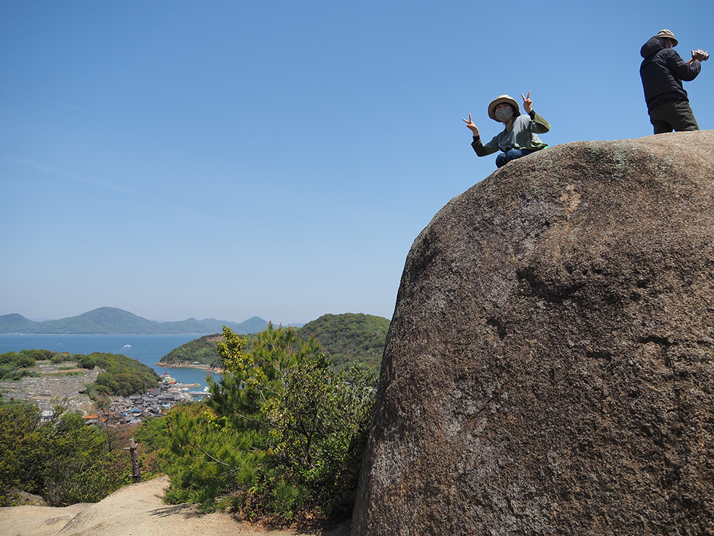
We arrived at the first viewpoint, "Hato Rock."
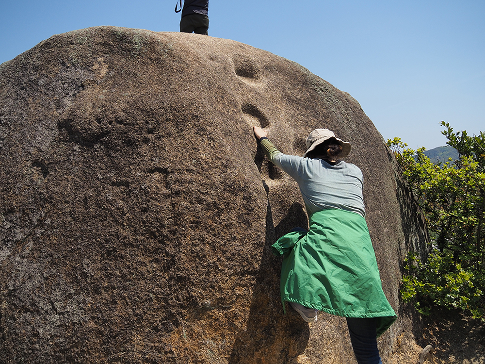
The large rock has hollows for hands and feet carved into it, allowing you to climb it.
Amano climbs it with ease.
On the other hand, I found it so difficult that I almost gave up, but I managed to climb to the top by scrambling.
It's so high that it makes your legs tremble! A sheer cliff.
With nothing to obstruct the view, I could see the Seto Inland Sea.
From Hato Rock, you can mainly view the north and east directions.
From above, you can clearly see the island's topography.
The mountain visible on the right is Ban'ya.
As the name suggests, it was used to spot ships of the western lords with a telescope and signal them to prepare for arrival.
Takayama Observatory
On the way to the next viewpoint, Takayama Observatory, we sat on a bench and had lunch.
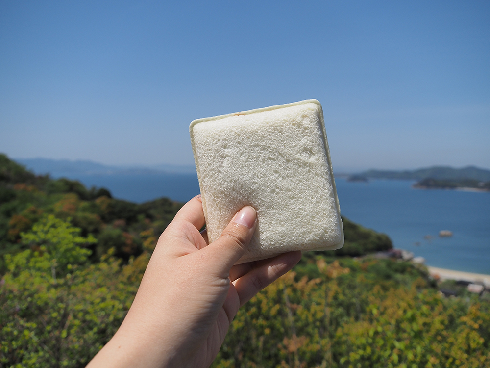
Eating while watching the passing boats is incredibly delicious.
Be careful not to let the black kite steal your food.
There are many benches and tables with good views along the trekking route.
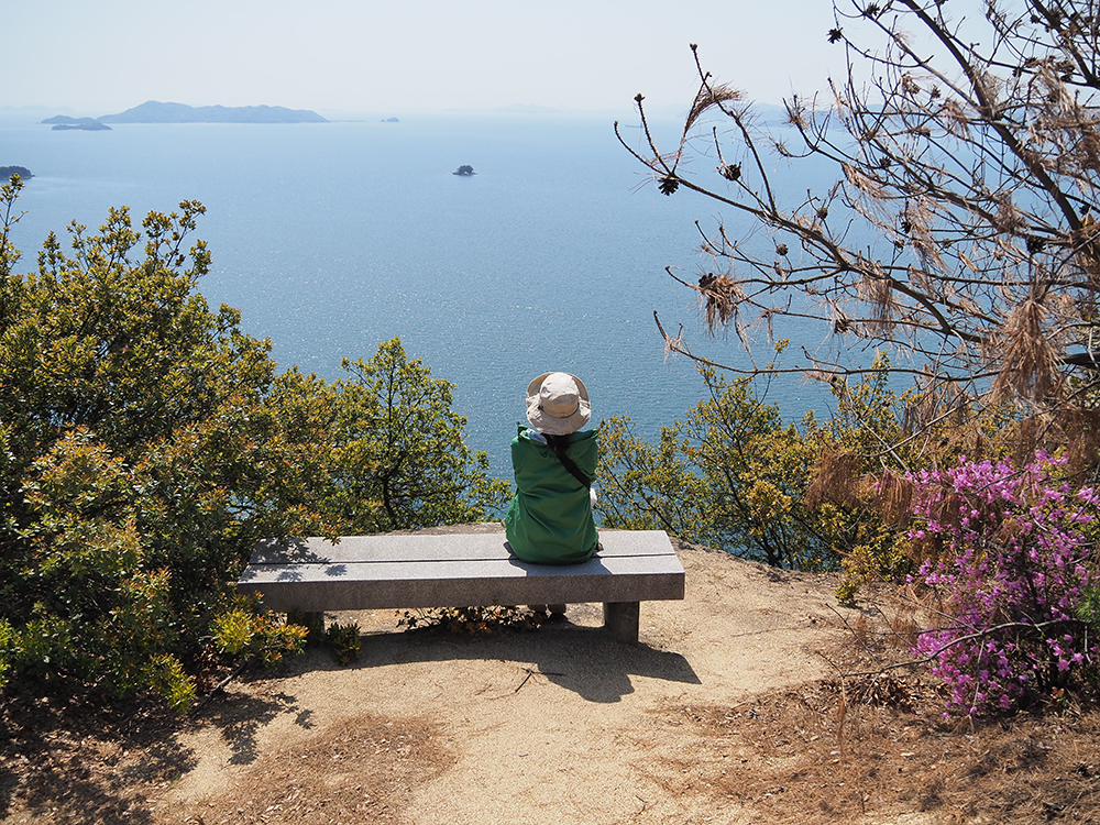
If you get tired of walking, take a break while enjoying the scenery.
After walking along the ridge for a while, we arrived at Takayama Observatory.
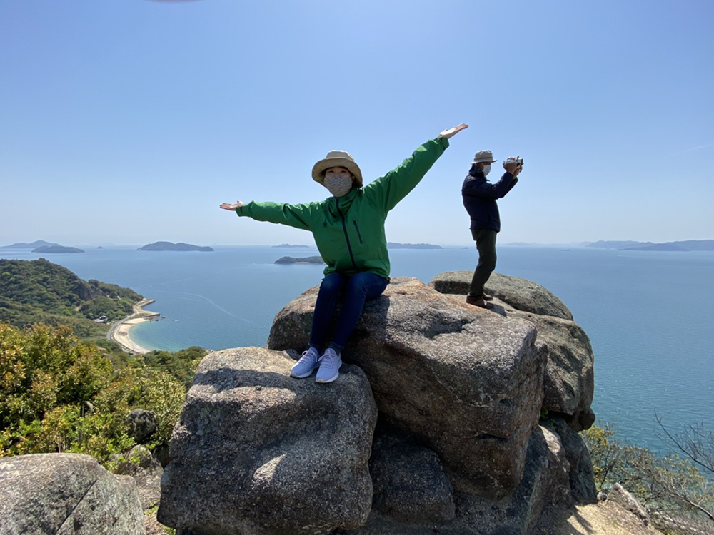
This was the spot that impressed me the most during the trekking.
A large rock juts out over the sea, and you can walk to the edge of the rock.
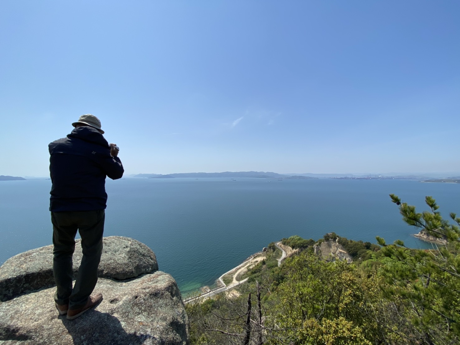
Amano easily reached the edge, but I was too scared to go further.
The view of the many islands typical of the Seto Inland Sea was wonderful.
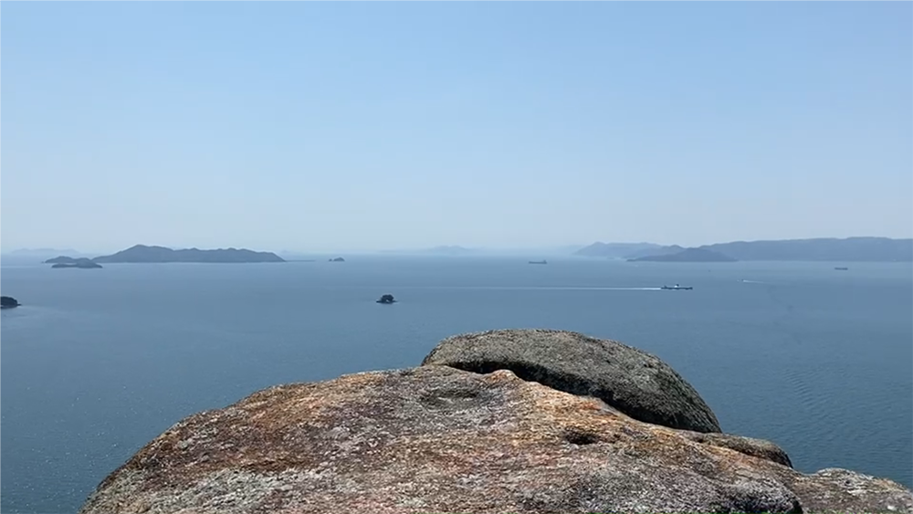
From Takayama Observatory, you can mainly view the south and west directions.
The Kasaoka Islands' Otojima, Kotojima, Rokushima, along with the Shikoku mainland, and on this day, Mt. Ishizuchi was also faintly visible to the naked eye.
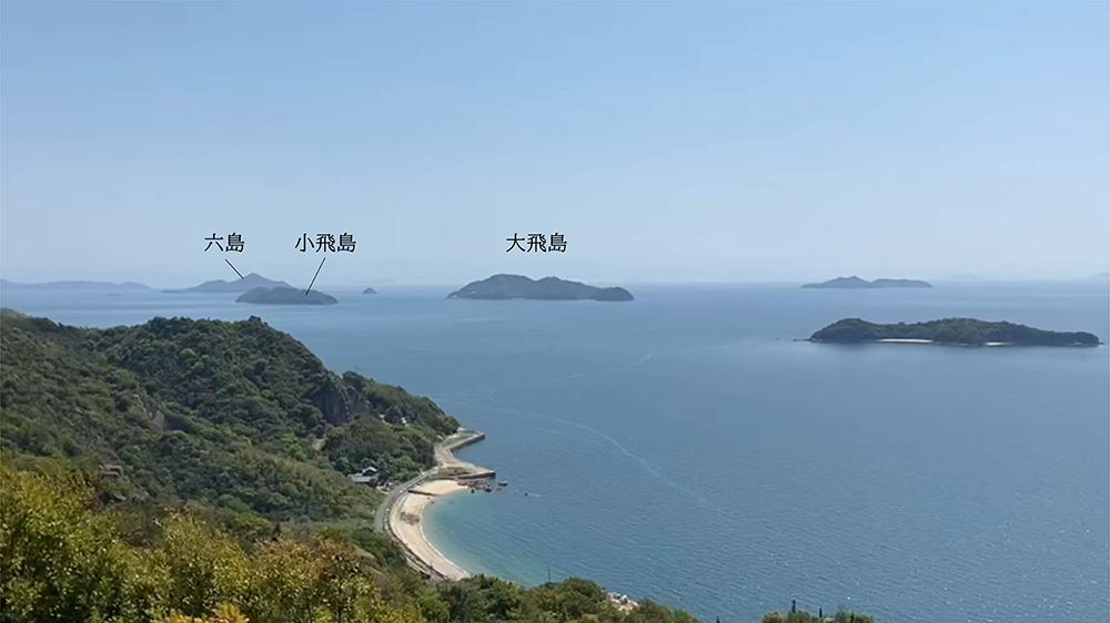
It is said to have been used as a fish lookout point since ancient times.
From here, they would spot schools of fish in the sea, signal the boats with flags, and assist in fishing.
Oodama Rock
After walking along the ridge again, going up and down, we reached "Oodama Rock".
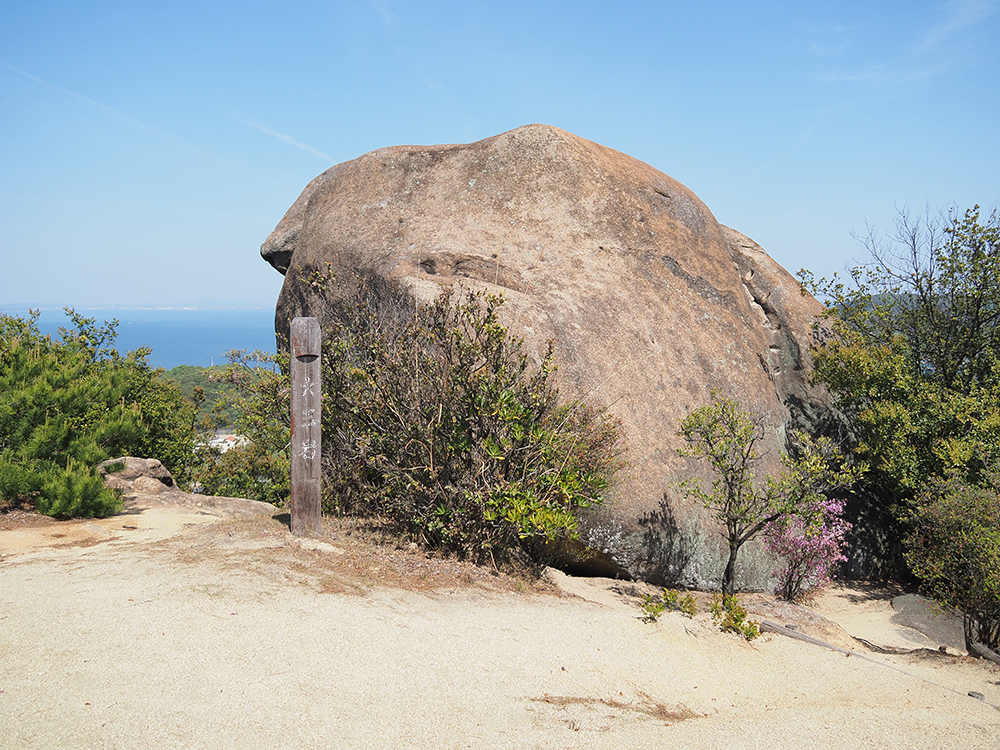
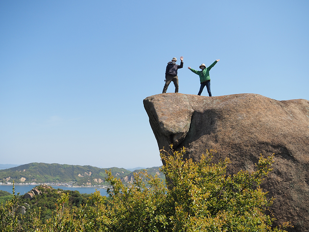
It is a giant rock that is even larger than "Hato Rock," and it can be seen well from the base of the mountain, making a strong presence.
Surprisingly, you can also climb Oodama Rock.
It is such a large rock that I wondered, "How do I climb it?" but there were hollows for feet and a chain to hold onto, which helped.
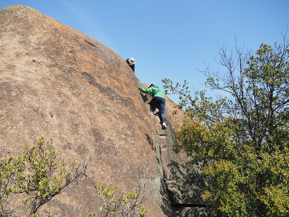
It is said that about 30 people can climb it. Since it is a large rock, once you reach the top, your footing is stable.
You can enjoy a 360-degree view from a higher place than Hato Rock.
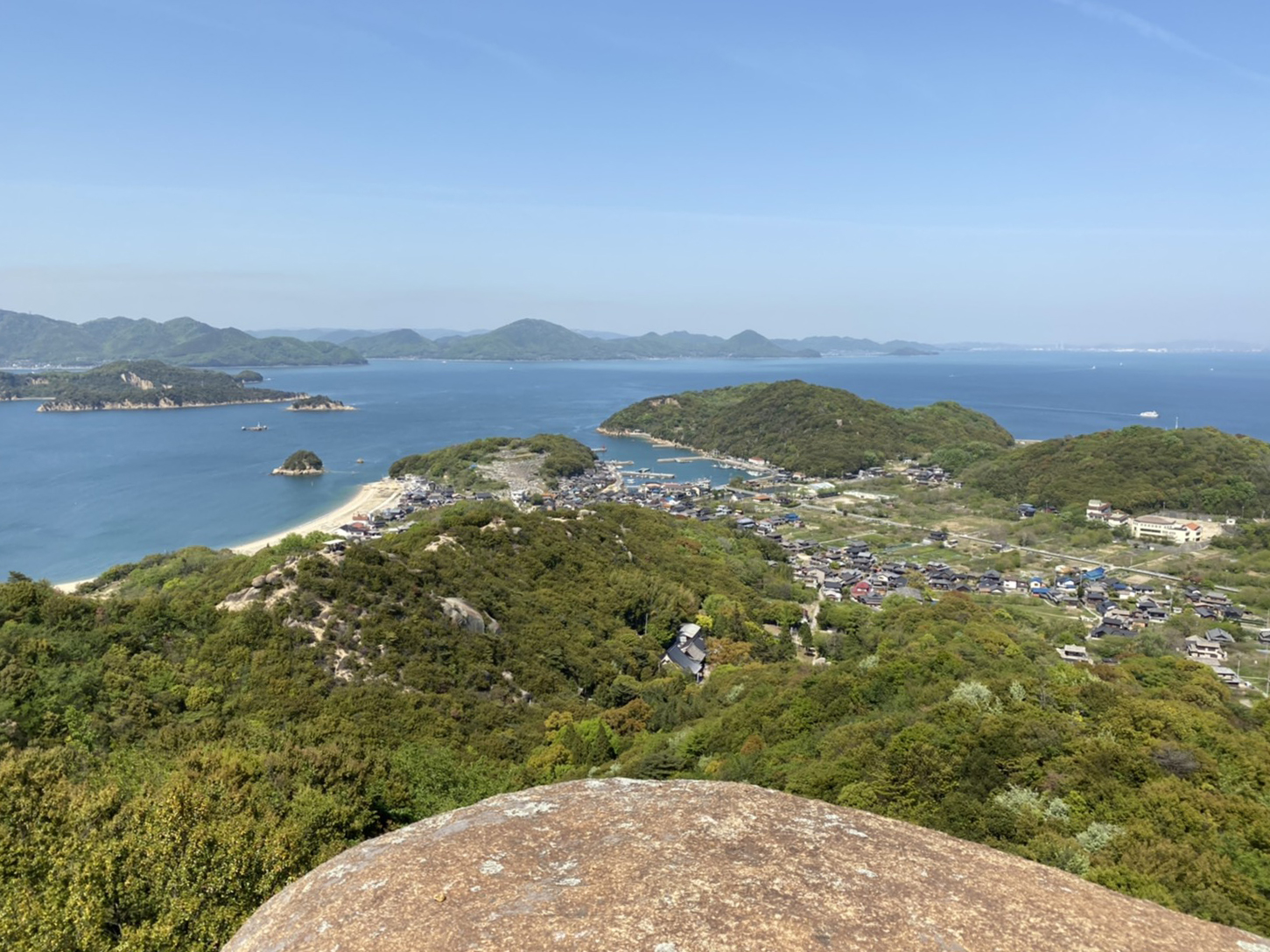
The calm sea and the greenery of the islands were beautiful and soothing.
The wind felt so good that I wanted to take a nap.
From the north side, Oodama Rock looks pointed, and you can take interesting photos with the islands in the background.
Yoroi Rock
After that, we headed towards "Yoroi Rock".
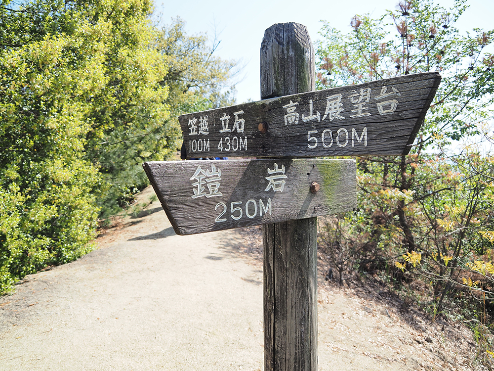
As we progressed along the mountain face, we found it.
This is the Yoroi Rock, a national natural monument.
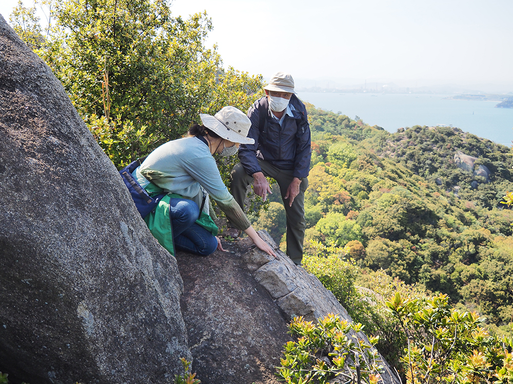
There are square cracks lined up like a grid on the base.
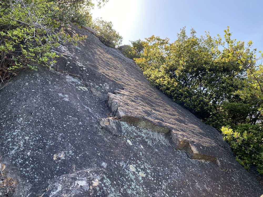
The stone of Shiraishi-jima is granite. It is said that its white appearance is the origin of the name Shiraishi-jima.
As magma slowly solidifies underground, a different substance called half-granite (aplite) intrudes, and as the land rises, it appears on the surface as armor rock.
It is said to be named "armor rock" because it looks like the armor worn by a giant.
Additionally, on Shiraishi-jima Island, you may see giant stones with patterns in between.
▼ This patterned part is also half-granite (aplite).
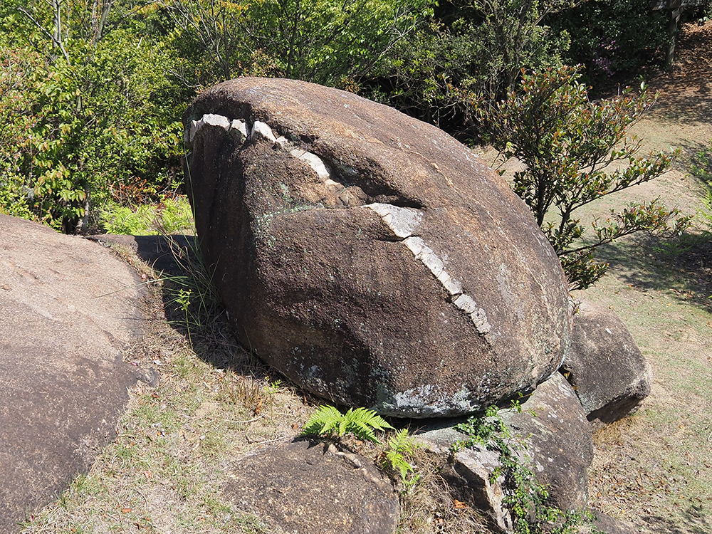
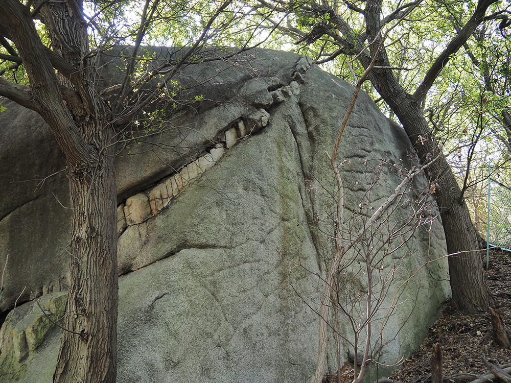
It looks like art, but it is created by nature. You can feel the greatness of nature.
After a while, there is a torii gate, creating a sacred atmosphere.
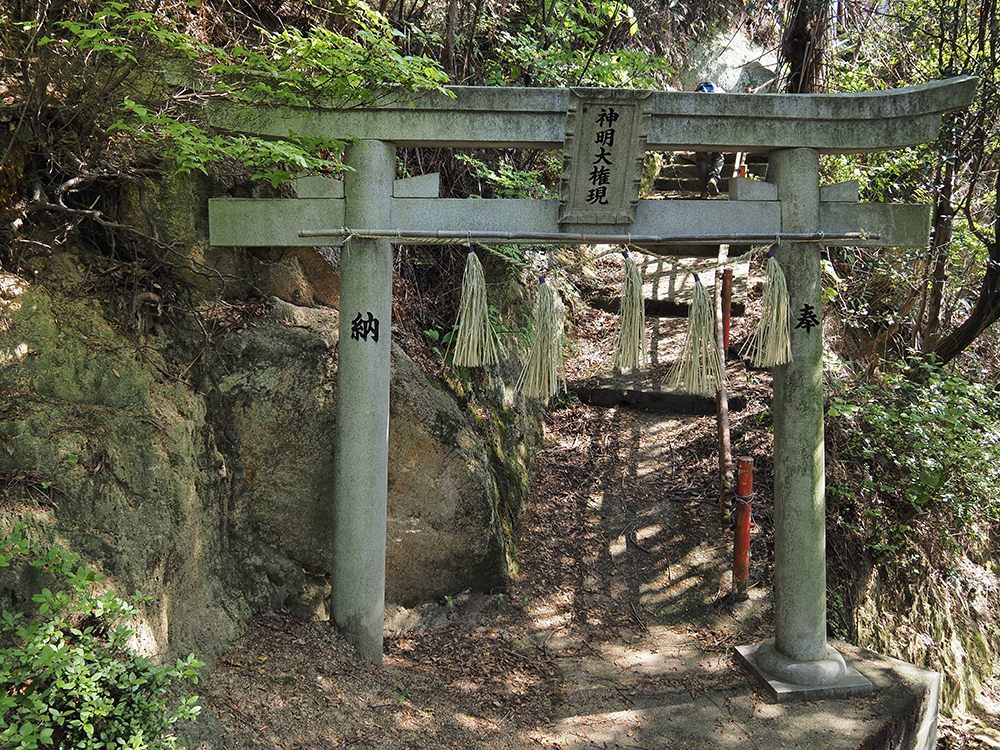
I felt the prayers to the giant stones and the great nature everywhere.
Buddhist Relic Tower
Due to my usual lack of exercise, my legs were shaking, but I safely descended the mountain and arrived at the Kairyuu-ji Temple grounds, where the Buddhist Relic Tower is located.
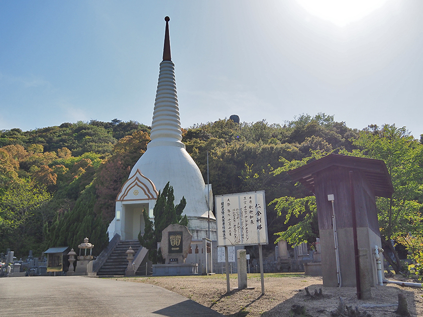
The white protruding roof is distinctive.
It is a pagoda in the Thai style, enshrining relics of the Buddha (the bones of Shakyamuni) and a statue of Shakyamuni. It was established in 1970.
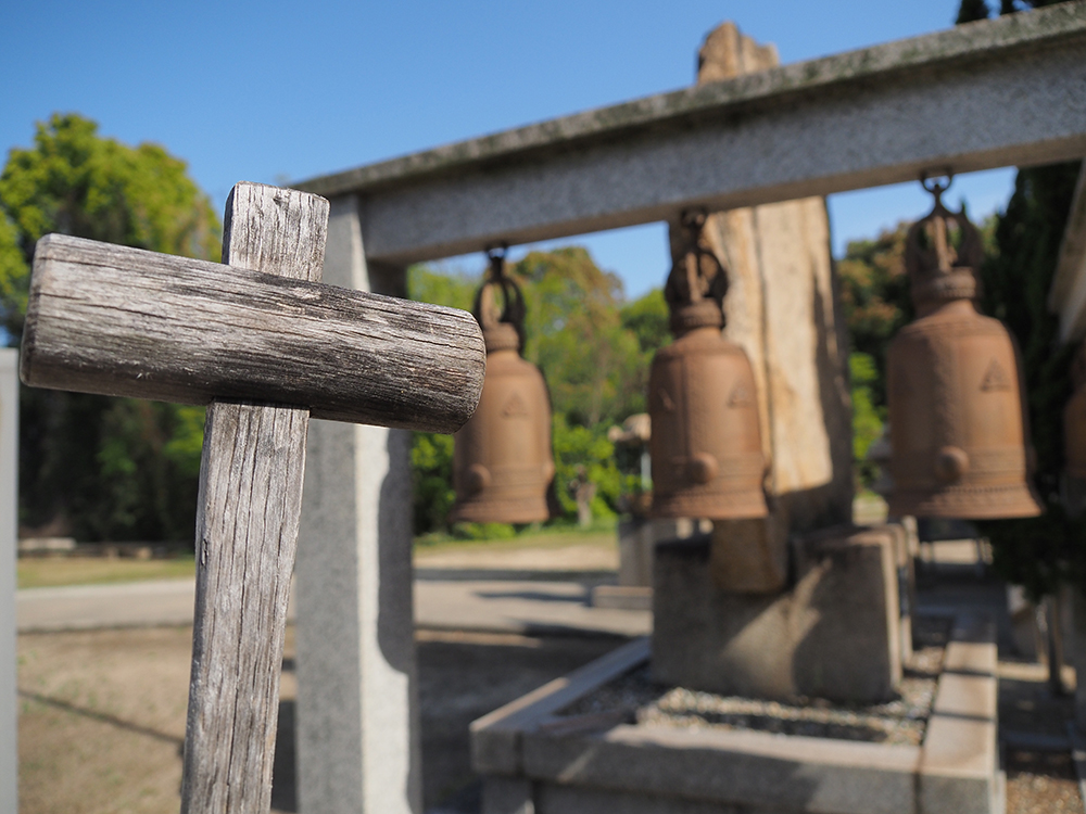
I tried ringing the "Bell of Happiness," which is rung three times.
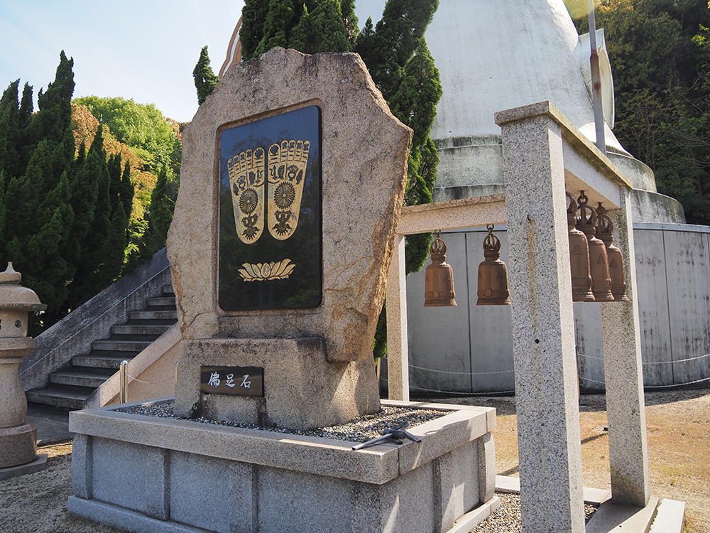
The sound of the high bell resonates well.
Kairyuu-ji
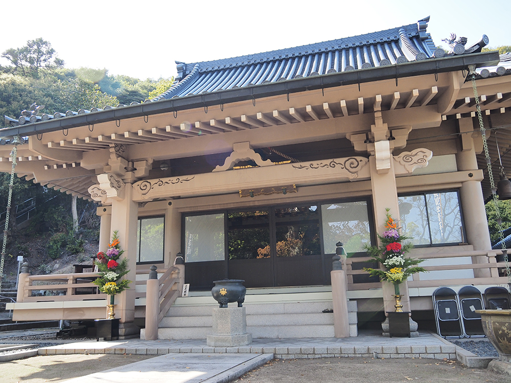
The Shingon sect's Kairyuu-ji is said to have been founded in 1183 as "Kobo-san Jigen-ji" to console the spirits of those who died in the Genpei Battle of Mizushima.
In the back of the temple grounds, there is a statue of Kobo Daishi (Kukai).
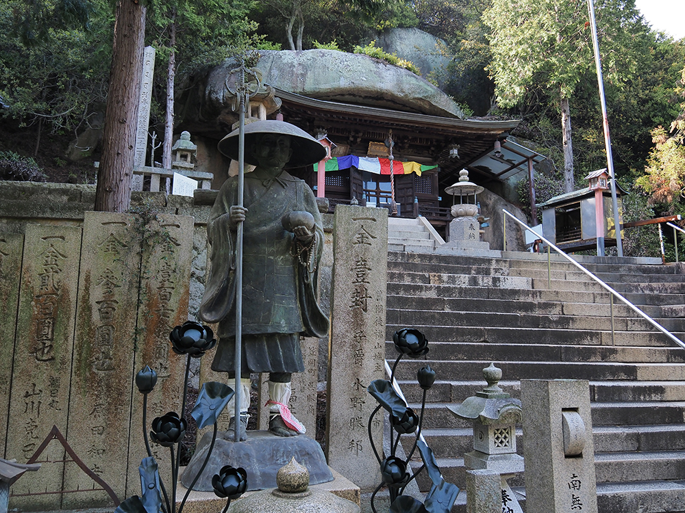
It is said that Kobo Daishi (Kukai) stopped by Shiraishi-jima Island for 37 days of training when he returned from Tang in 806.
In the Daishi Hall, there is a statue that he left on the island at that time.
The grand nature and faith overlap, creating a hall among the large stones. It is impressive.
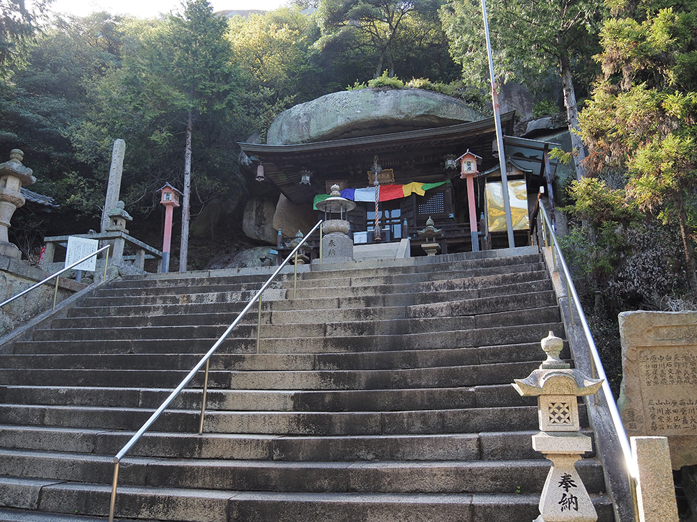
In front of the inner sanctum, there is a rock called "Fudo Rock."
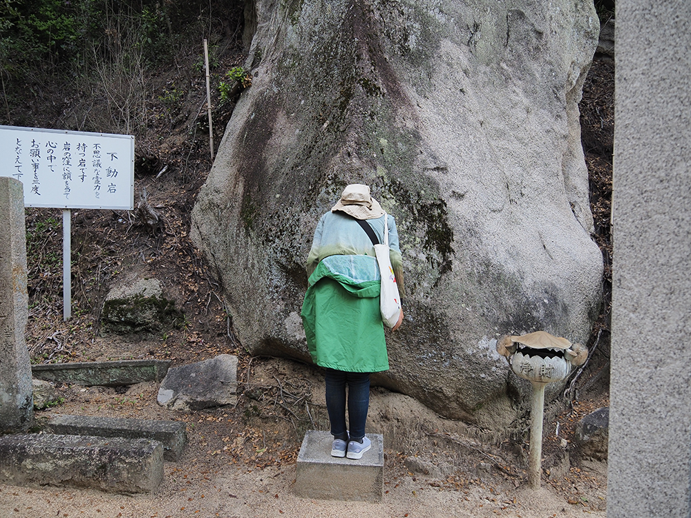
Place your forehead against the hollow in the rock and chant your wish three times in your heart.
Shiraishi-jima Port
It is about 1 kilometer from Kairyuu-ji to Shiraishi-jima Port. It takes about 15 minutes to walk.
Since I had time before the return ferry, I stopped by "Kasouji-tei Tomariya" near the port.
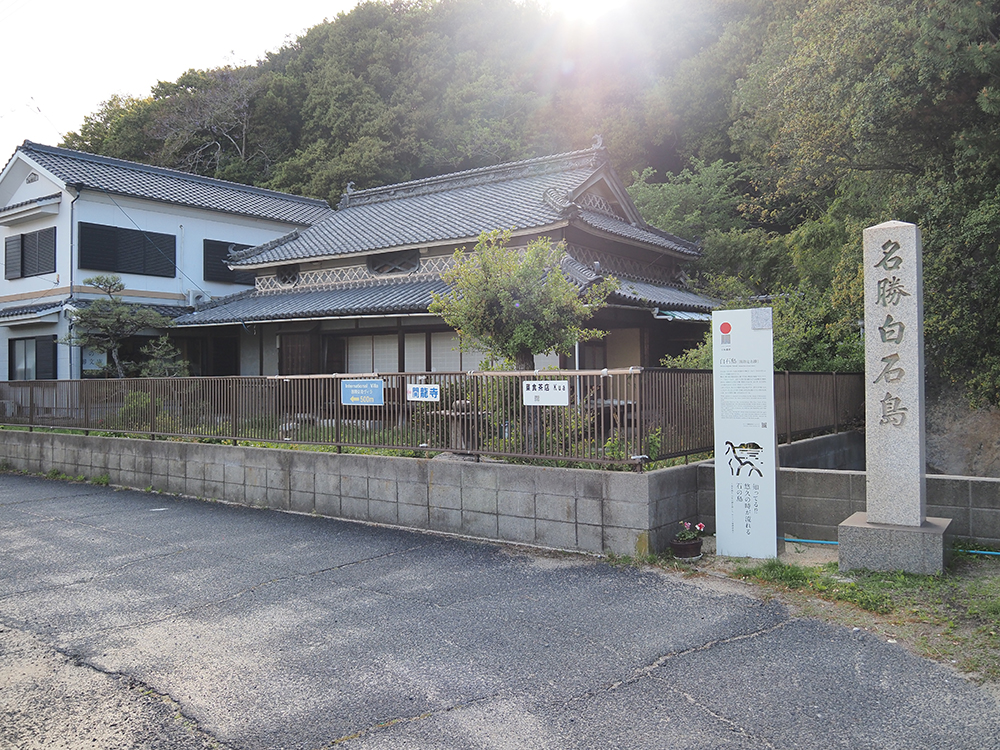
It is said to be the place where Tada Takahashi, known for creating the map of Japan, stayed in 1806.
The detached house is being organized by Amano-san as "Shiraishi-jima's Gombunko".
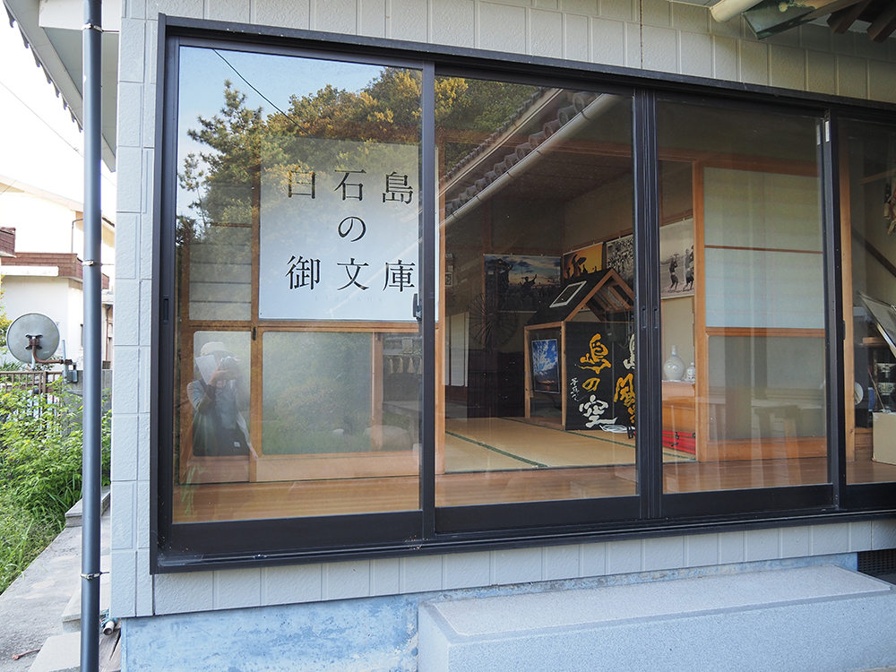
Inside, there were materials related to Shiraishi Odori and a spinning wheel that was often used on Shiraishi-jima in the past.
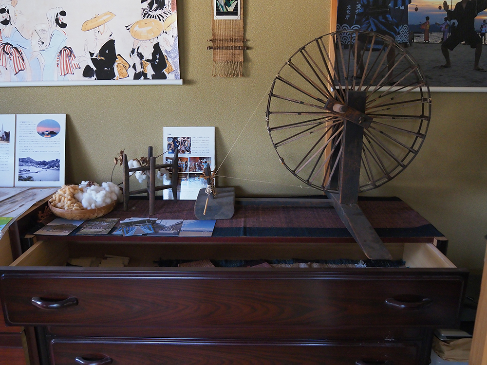
I am looking forward to it becoming a place where one can learn about the traditional culture of Shiraishi-jima in the future.
From the return ferry, I was able to spot Ootama Rock. Near the sea is the Nakaniwa Ryokan, where the trekking started.
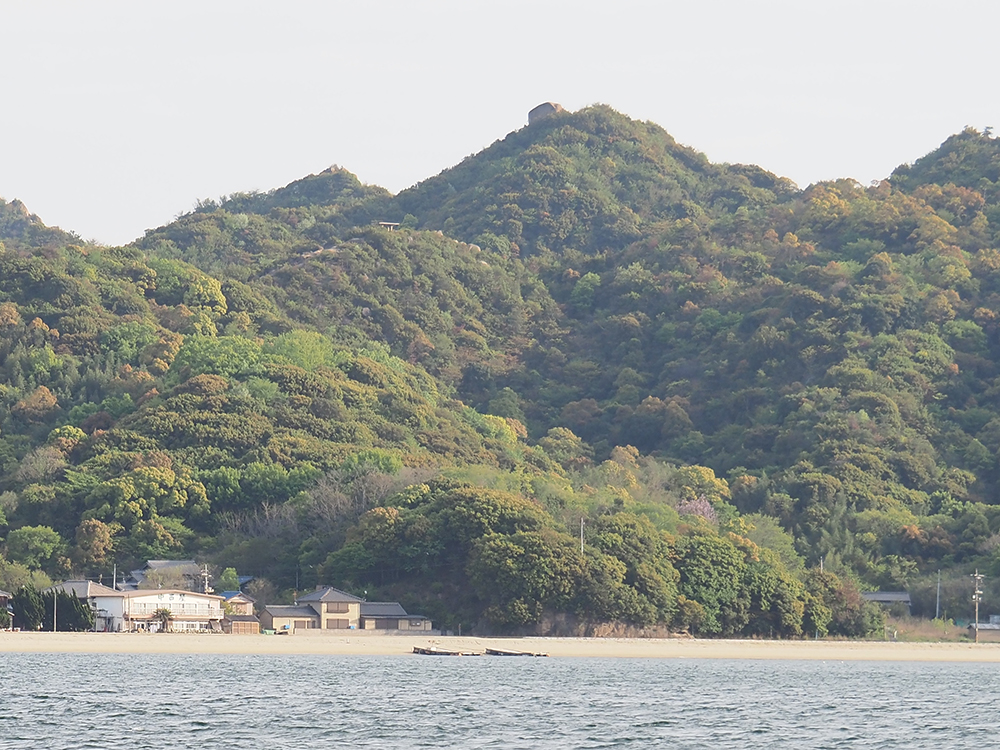
I felt, "Did I climb that high? I did my best," as I returned.
From the Writer
Trekking on Shiraishi-jima Island offers a powerful view of the Seto Inland Sea and giant rocks. I was able to fully enjoy the grandeur of nature.
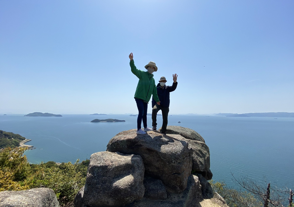
There are signposts installed, and the paths are wide, making it easy for beginners to walk.
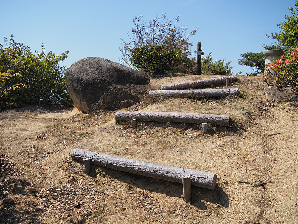
There are easy-to-climb hollows made in the large rocks, and wooden stairs have been installed, conveying that the island's people have loved and cherished the mountains for a long time.
Additionally, Kairyuu-ji Temple, which holds the history of Kobo Daishi and the Genpei War, has a solemn atmosphere that straightens the back.
Knowing that stones are connected to faith, I also felt a sense of reverence for nature while enjoying the breathtaking views of the Seto Inland Sea.
Shortening the course or taking detours according to your time and stamina is also one way to enjoy it.
Please enjoy trekking on Shiraishi-jima Island with sturdy shoes that are not slippery.
Shiraishi-jima Island Trekking Course Information
| Name | Shiraishi-jima Island Trekking Course |
|---|---|
| Address | Shiraishi-jima, Kasaoka City |



What do you want to know about Kurashiki?
Enter words to search articles from this site