Kurashiki Riverbank Traditional Building Preservation District (kurashikigawahand dentouteki kenzo butsu gun hozon chiku, hereinafter referred to as Kurashiki Riverbank) is an area located in the center of Kurashiki City.
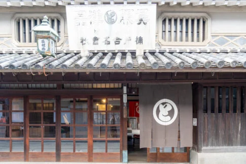
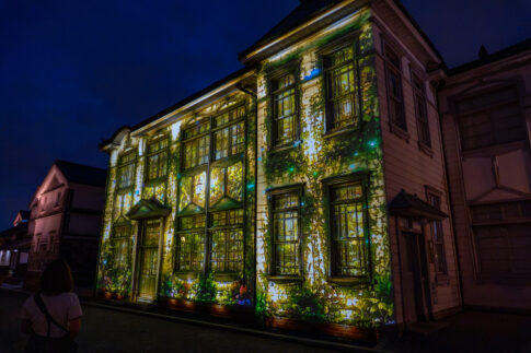
Along the Kurashiki River and its surrounding areas, many historical buildings are lined up.
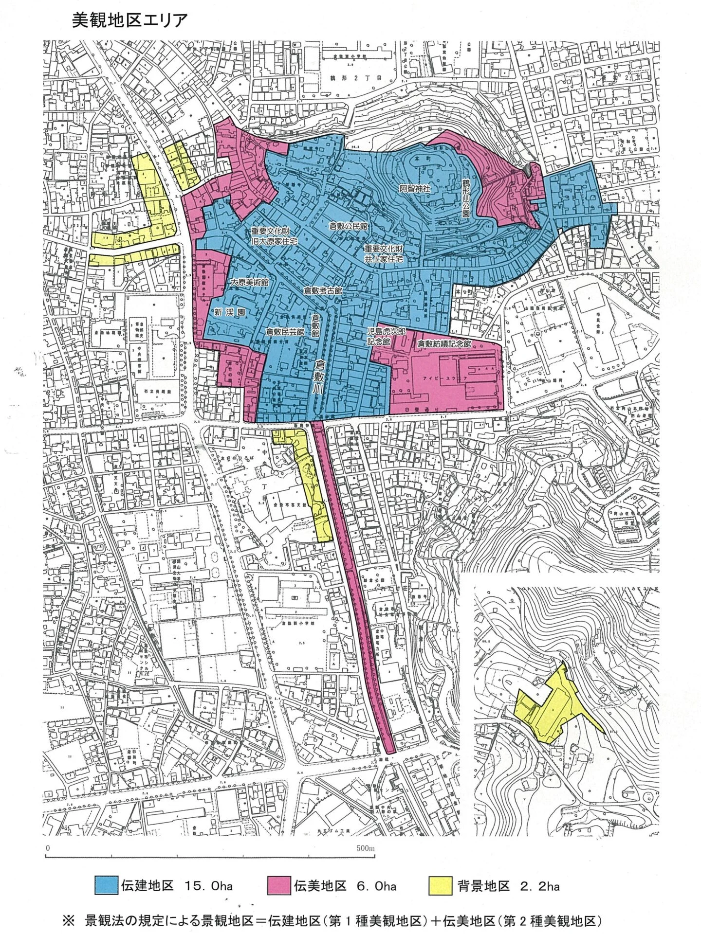
In the Kurashiki Riverbank, the Traditional Scenic Preservation District (Denbi District) has been designated by Kurashiki City, and efforts to preserve the townscape have been underway for a long time.
Of the approximately 20.7 hectares of the Traditional Scenic Preservation District, about 15 hectares have been selected as a national Important Traditional Building Preservation District as the "Kurashiki Riverbank Traditional Building Preservation District."
The Kurashiki Bikan Area is a collective term for the Traditional Scenic Preservation District and the Important Traditional Building Preservation District.
We will delve into the history, the progress of townscape preservation activities, and the charm of the town of Kurashiki Riverbank, which attracts many visitors from both domestic and international locations.
Formation and History of Kurashiki Riverbank
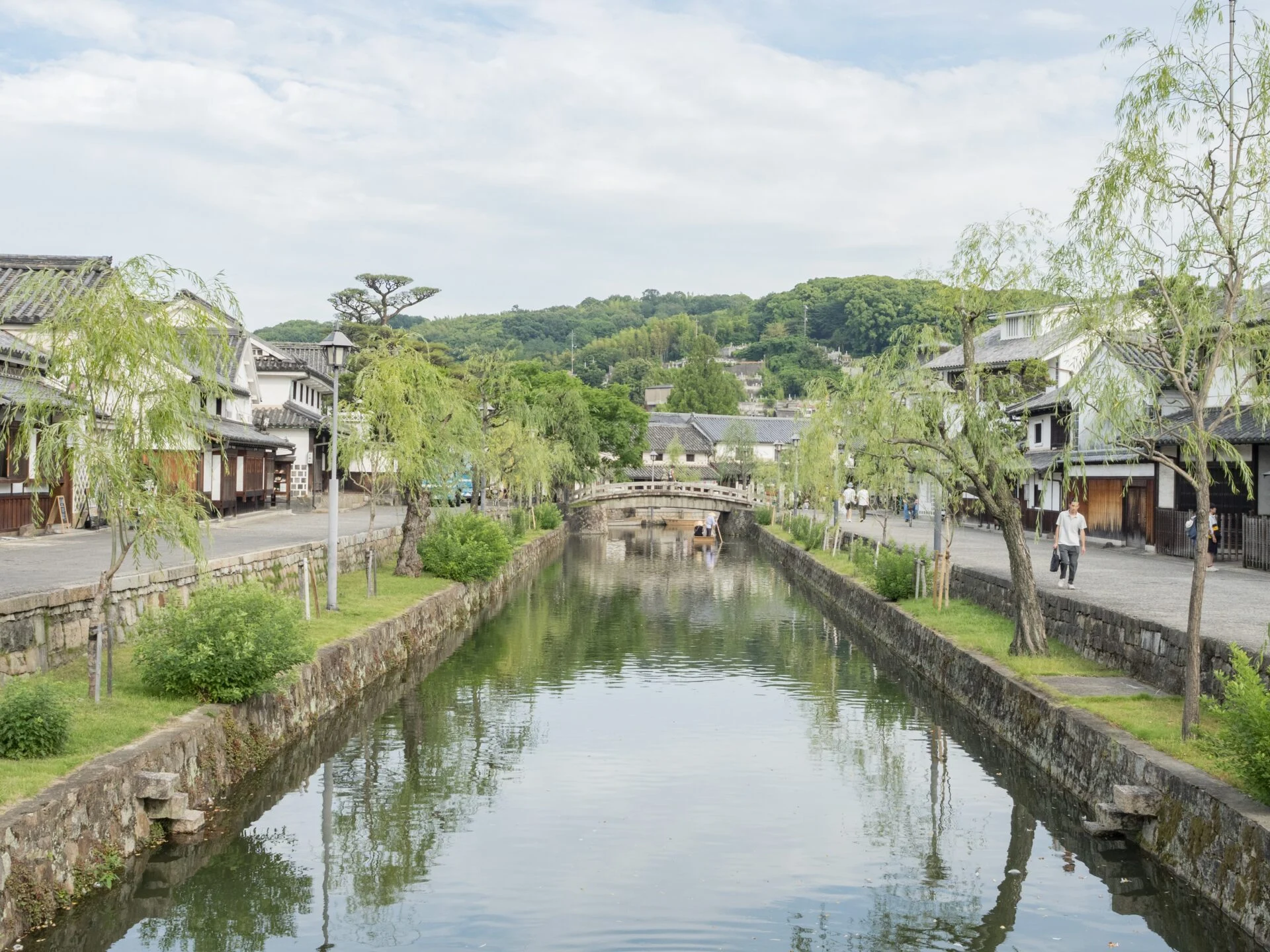
Kurashiki Riverbank is an area centered around the upstream coast of the Kurashiki River, spreading out in the surrounding area. Many historical buildings remain, and efforts are being made to preserve the townscape.
Let us introduce the formation and history of the townscape of Kurashiki Riverbank.
Once a Sea: The Area Around Kurashiki Riverbank
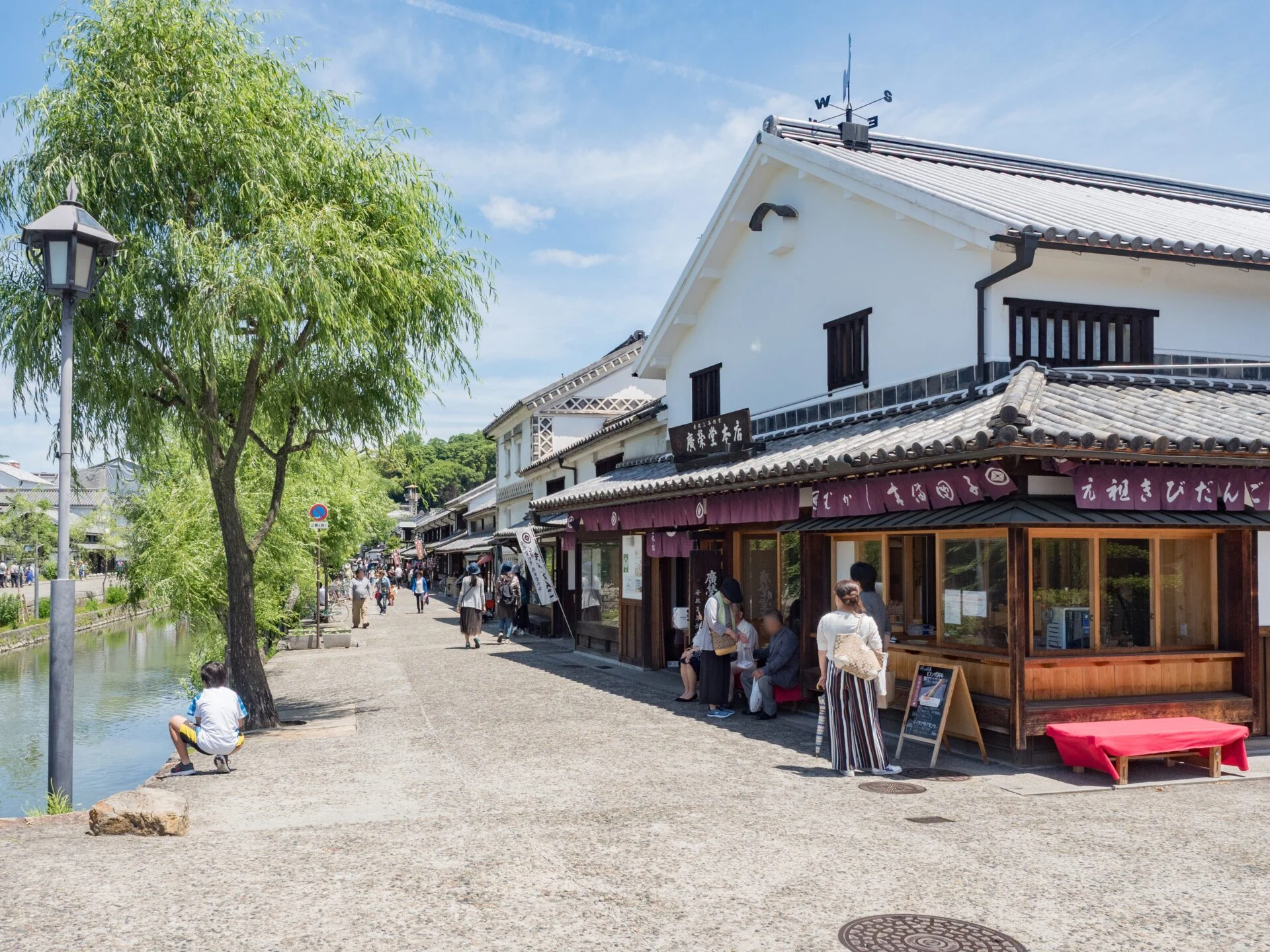
The area where the townscape of Kurashiki Riverbank exists was once a sea. It was located offshore at the mouth of the Takahashi River, and the current Kurashiki Riverbank was part of an island. It is said that settlements began to form around the present-day Tsurugatayama during the Muromachi period.
The current townscape of Kurashiki Riverbank and its surroundings eventually came to be called Kurashiki.
The area around Kurashiki was a shallow sea called Achi no Kata (kata), where sediment carried by the Takahashi River accumulated over many years. During the Azuchi-Momoyama period, the then lord of Okayama Castle, Ukita Hideie, reclaimed the land, connecting Kurashiki to the mainland.
It is said that the name Kurashiki originates from the term Kurashiki-chi, which referred to a temporary storage place for collected taxes during the medieval period.
Kurashiki-chi existed not only in present-day Kurashiki City but also in various locations.
Directly Governed by the Shogunate in the Edo Period
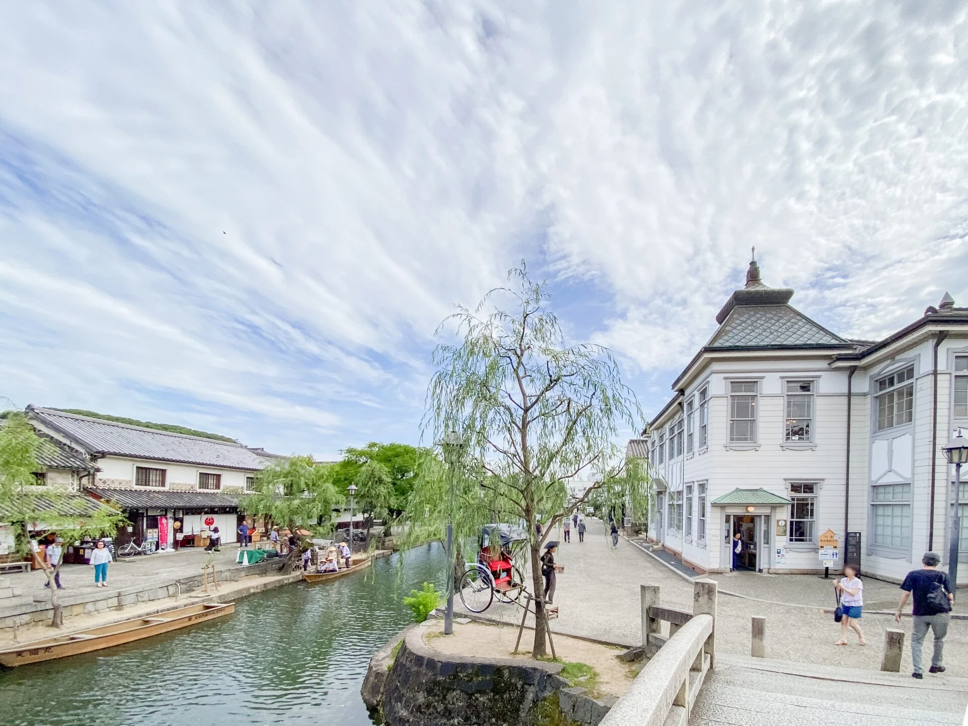
In the early Edo period, Kurashiki became a directly governed territory of the Edo Shogunate.
It was governed by Kobori Masatsugu, the Bugyo (magistrate) of Bitchu Matsuyama Castle, and Kobori Masaichi (Kobori Enshu).
In 1642 (Kan'ei 19), Yonekura Heidayu was appointed as the Kurashiki Daikan and took office in Kurashiki.
After that, the governance of Kurashiki changed hands from Bitchu Matsuyama Domain to the Shogunate, then to Niwase Domain, then to Tanba Kameyama Domain (Kameoka City, Kyoto Prefecture), back to the Shogunate, and finally to Suruga Tanaka Domain (Fujieda City, Shizuoka Prefecture). By the mid-Edo period, in 1721 (Kyoho 6), it became a directly governed territory of the Shogunate and remained so until the end of the Edo period.
In 1746 (Enkyo 3), the Kurashiki Daikansho (currently the site of Kurashiki Ivy Square) was established.
Prosperity Through Trade Using the Water Transport of Kurashiki River, Birth of the Town of Kurashiki Riverbank
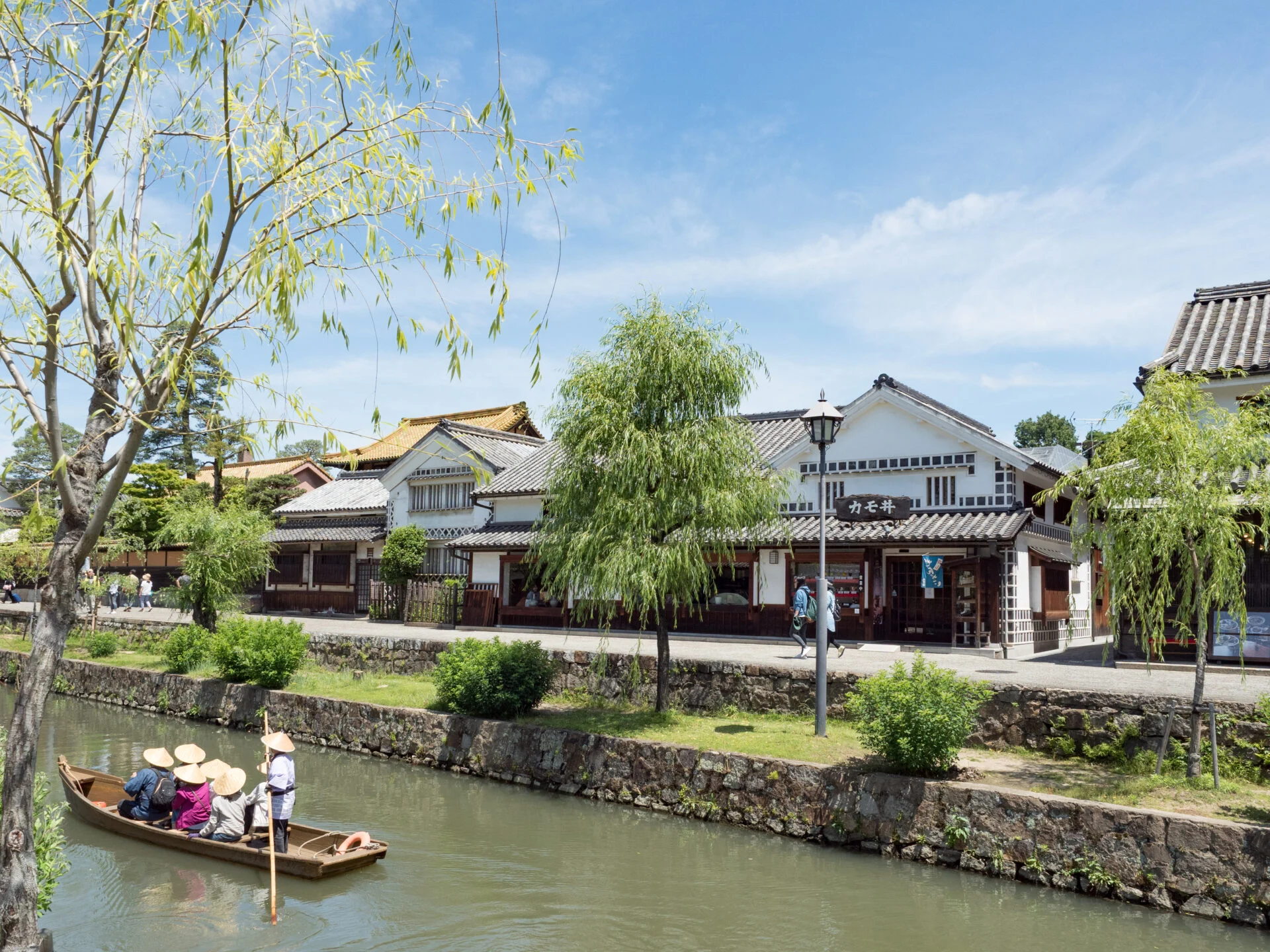
Due to its proximity to the mouth of the Takahashi River, Kurashiki prospered as a distribution center for goods.
From the early Edo period, the surrounding sea of Kurashiki was gradually reclaimed and turned into land.
The newly created rice fields around Kurashiki, formed through reclamation, contained salt from seawater, leading to the active cultivation of cotton, which is resistant to salt.
On the other hand, Kurashiki became an inland area due to the expansion of reclaimed land. Therefore, a canal was constructed to connect Kurashiki to the sea. This became the Kurashiki River.
Merchants gathered in large numbers, and various transactions took place involving cotton harvested from the reclaimed land, as well as rice and igusa harvested from surrounding villages.
The Kurashiki River became a loading and unloading point for goods, and warehouses lined the banks of the Kurashiki River. Merchants actively conducted business using the water transport of the Kurashiki River.
Many wealthy merchants who made their fortunes through trade were born in Kurashiki, and the town thrived. It is said that the Genroku period (1688–1704) was the peak, during which the framework of the town of Kurashiki Riverbank was established.
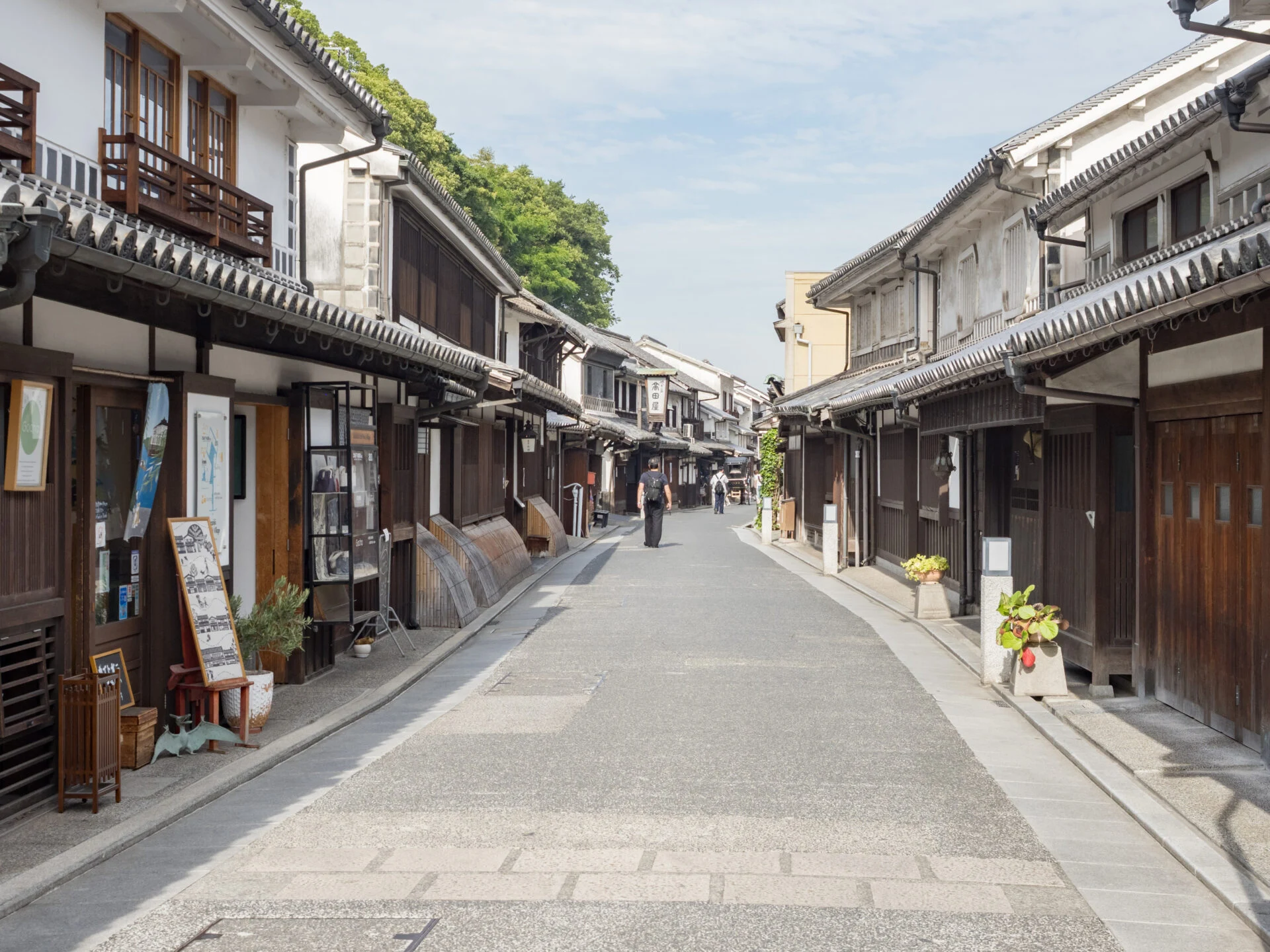
The current Honmachi Street, which runs east-west south of Tsurugatayama, was the main street of Kurashiki at that time, lined with many machiya.
Additionally, the area around the south approach of Achi Shrine on Honmachi Street was also a town of craftsmen.
Currently, the area along the Kurashiki River, which symbolizes Kurashiki, is lined with storehouses and was a place where loading and unloading activities took place. In modern terms, it was a warehouse district, essentially a back street.
Later, in the mid-Meiji period, the railway was opened, and JR Kurashiki Station began operations. The flow of goods and people shifted from water transport on the Kurashiki River to land transport using the railway.
The operation of boats on the Kurashiki River declined after the Meiji period. However, passenger services reportedly continued on a small scale until the early Showa period.
Preservation Efforts of the Townscape along the Kurashiki River
The town along the Kurashiki River, which prospered during the Edo period.
Even today, many of the townscapes from that time remain, bustling as a tourist destination. How has the preservation of the townscape along the Kurashiki River been carried out?
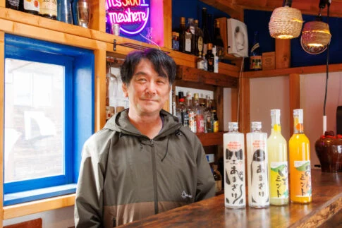
Regarding the progress of the townscape preservation activities, I spoke with Shibuya Toshihiko, who serves as the chairman of the Kurashiki City Traditional Buildings Preservation Council.