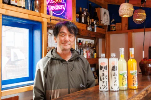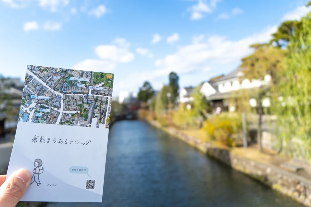
Interview with 3 Organizers
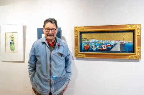
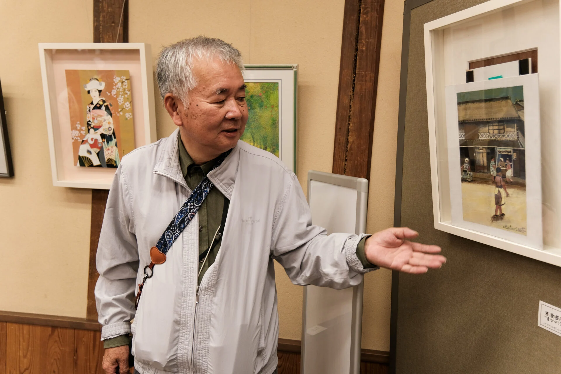
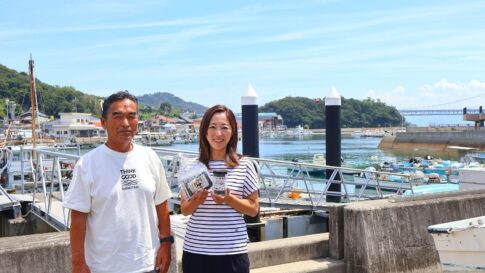
We interviewed three individuals: Hiromichi Shimizu from the Urban Development Promotion Division of the Kurashiki City Construction Bureau, Jiro Komoto from Urabe Design Co., Ltd., and Nahoko Nakagawa.
The Trigger for Creation: Digitizing Naoki Okamoto's Bird's-Eye View Map
Can you tell us what prompted you to create the Kurashiki Walking Map?
Komoto (honorifics omitted)
It all started when we, at Urabe Design, consulted with the Urban Development Promotion Division, with whom we have had a relationship for some time.
We suggested, "How about creating a digital map to 'unearth the new charm of the town'?" and they responded, "Absolutely!"
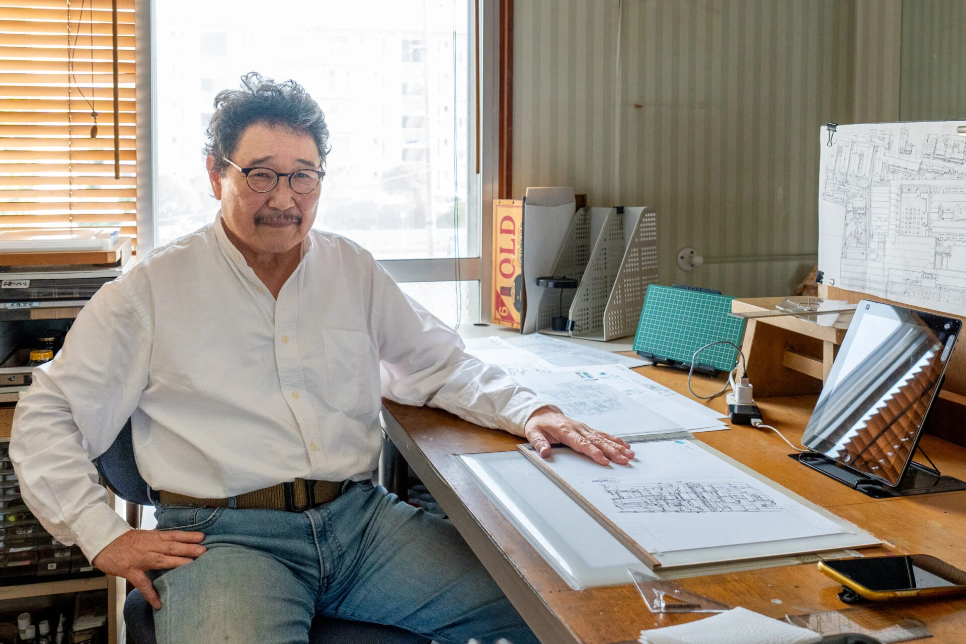
We have always loved the bird's-eye view map drawn by Okamoto.
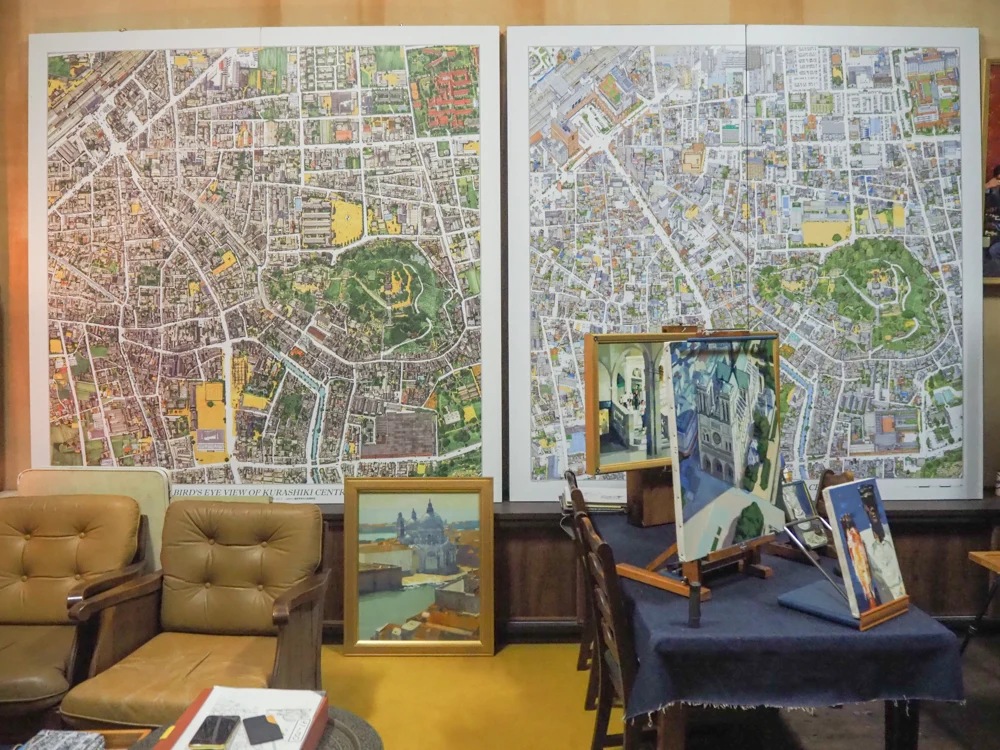
It was so wonderful that about 1-2 years ago, we took some renowned architects and architectural critics to see Okamoto's bird's-eye view map.
They were also very surprised.
They exclaimed, "Is there such a thing in Kurashiki? That's amazing!"
At that time, an editor from a publishing company who happened to be with us said, "I know a company that can digitize hand-drawn maps."
They mentioned that because GPS coordinates are linked with the map, it makes it fun to feel like you are walking within the map.
They also said, "With digital, you can zoom in, so the fun of the bird's-eye view map can be conveyed better."
Thinking that if they said that, I wanted to utilize it for the town, I reached out to the Urban Development Promotion Division.
The Map is Not on Paper or an App, but in a "Browser"
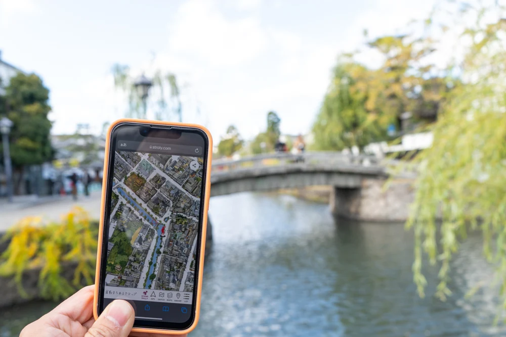
The Kurashiki Walking Map is designed to be viewed only in a "browser," right?
Nakagawa (honorifics omitted)
That's correct. Nowadays, there are many options for tools like paper and apps, but we have intentionally made it available only in a browser.
Moreover, I thought that viewing it digitally would better convey the magnificence of Okamoto's bird's-eye view map.
Okamoto's bird's-eye view map intricately depicts the lives of people and cars from that time.
Of course, you can enjoy the paper bird's-eye view map sold at places like Hayashi Genjuro Pharmacy Museum, but being able to zoom in digitally makes it even more enjoyable.
In terms of cars, you can even tell the model (laughs).
This is because of the inherent strength of the bird's-eye view map drawn by Okamoto, allowing for discoveries that are different from viewing it on paper.
Additionally, we chose not to make it an app because you can enjoy the latest version every time you open the URL without having to update it.
The Changes in Kurashiki: What is the Reality?
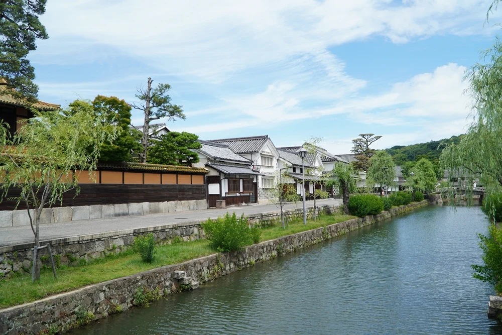
When you can zoom in, even those familiar with Kurashiki may find new discoveries. In reality, how has the town of Kurashiki changed?
Shimizu (honorifics omitted)
The movements, such as the redevelopment of the town center, are based on various plans established by Kurashiki City.
One of them is the "Kurashiki City Central Urban Revitalization Basic Plan," which was created in 2010 around JR Kurashiki Station and the Bikan Historical Area, and we are currently in the third phase (as of 2021).
| Kurashiki City Central Urban Revitalization Basic Plan | Period | Goals |
|---|---|---|
| Phase 1 | March 2010 - March 2015 | 1. Enhance the charm of the town by utilizing the traditional culture that Kurashiki has preserved 2. Create a town that is enjoyable to walk in and easy to live in 3. Guide people into the town center and promote interaction |
| Phase 2 | April 2015 - March 2021 | Same as above |
| Phase 3 | April 2021 - March 2026 | 1. Enhance the charm of the town by utilizing historical and traditional resources 2. Create a town center with convenient and comfortable activities 3. Form a town center where people gather and interact |
Originally, it started with the desire to address the decrease in pedestrian traffic due to the withdrawal of large retail stores from the station area and the increase of suburban stores.
In the first phase, we attracted a large-scale complex commercial facility north of JR Kurashiki Station and developed retail and dining facilities around the Bikan Historical Area to create major hubs. In the second phase, we created attractive hubs through the renovation of machiya (townhouses) and kominka (traditional houses).
We established hubs in the first phase and further enhanced the charm of Kurashiki in the second phase, facilitating movement between the north and south of the town.
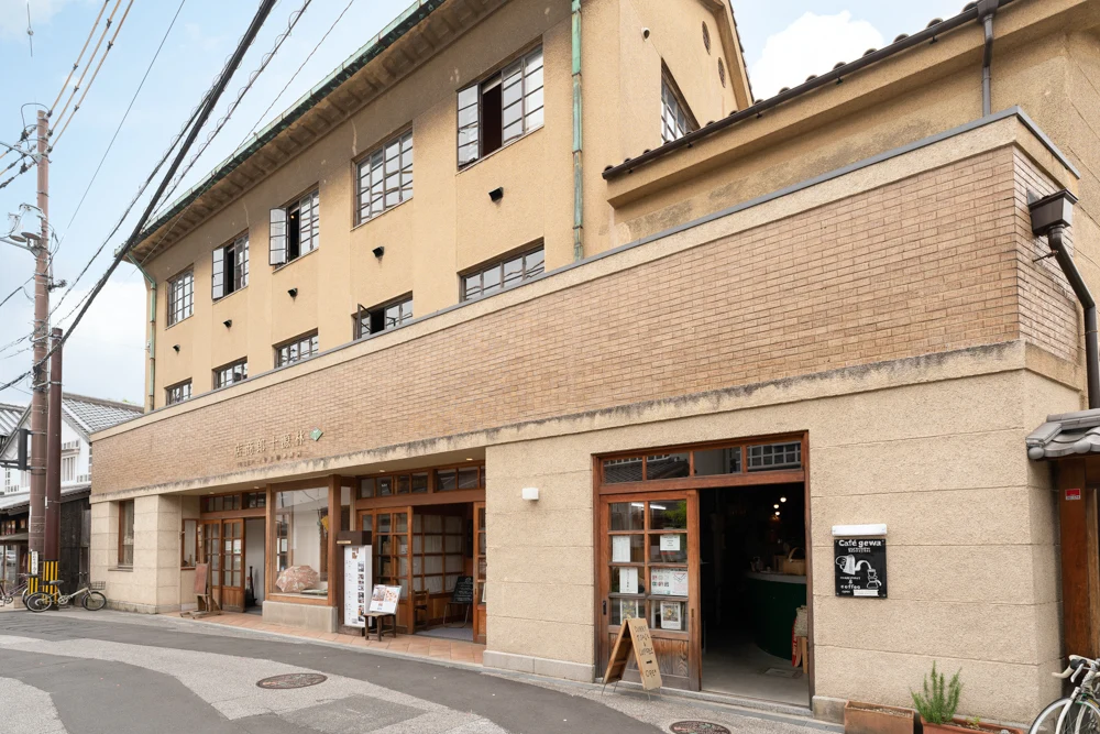
And now we are in the third phase.
We are at a stage where we are creating a system that encourages people to visit not only north and south but also east and west.
As part of this, we aim to utilize tools like the Kurashiki Walking Map.
Komoto
Kurashiki City is also working daily to become a town where people living in Kurashiki can enjoy a better quality of life.
Not just from a tourism perspective, but rather, I hope the people of the town will rediscover the charm of their own town.
The Charm of Kurashiki from an Architect's Perspective
Have you two from Urabe Design felt anything new after creating the Kurashiki Walking Map? How does Kurashiki appear from an architect's perspective?
Komoto
In a compact town like Kurashiki, where good things have accumulated over time, you won't find such a place anywhere else in Japan.
For example, the Edo-style houses that thrived during the time of water transport and rice storage have become Ryokan Kurashiki and Kurashiki Archaeological Museum.
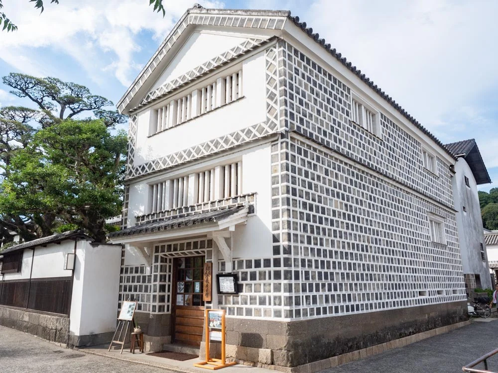
Many buildings are preserved while valuing the past.
On the other hand, during the time when the cotton industry developed, it thrived around spinning mills, and Western-style buildings began to emerge.
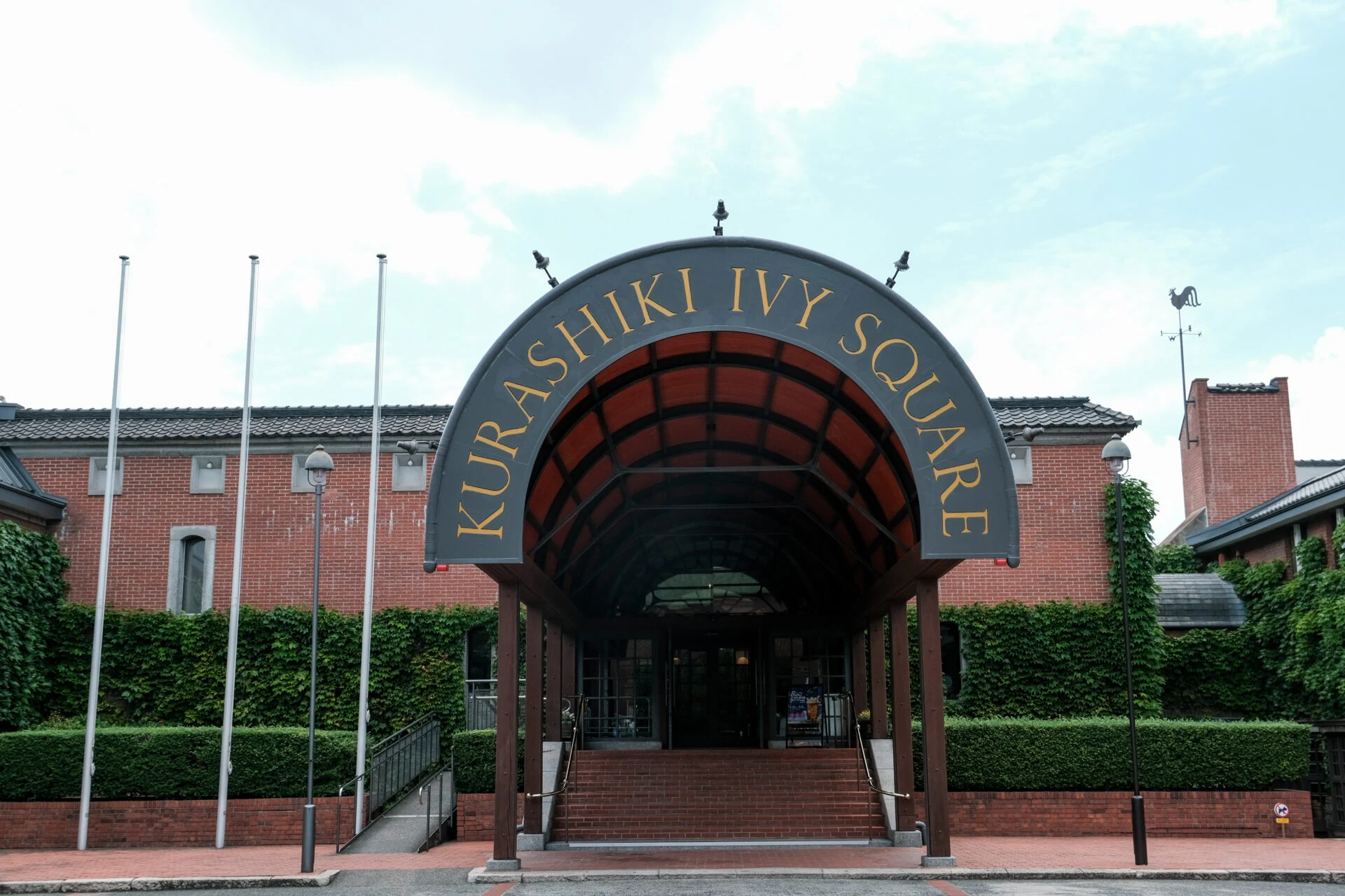
Around the same time, places like Kurashiki Ivy Square were established, transforming into a "tourist town" where people walk around to see old buildings.
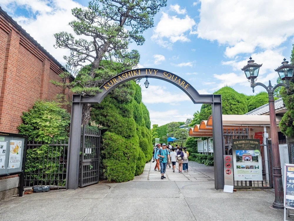
And now, there is a movement to create commercial facilities in old houses, which is being realized under the Urban Development Promotion Division.
The appearance of the town during its prosperous water transport days remains, and the newly built Western-style buildings are designed to further enhance the town's charm.
From an architect's perspective, you can see that "what has been created now considers the overall improvement of the town rather than self-assertion."
Nakagawa
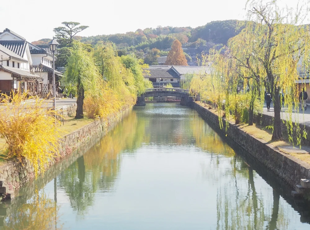
When I took a photo from around the entrance of Honmachi, I thought it was truly wonderful that the Edo-style house, Western-style building, and commercial facility could all be captured together without any sense of discomfort.
Walking in the morning mist, I thought, "What era have I come to?" because of the beautiful scenery.
Every time I visit, I fall in love with the town.
Komoto
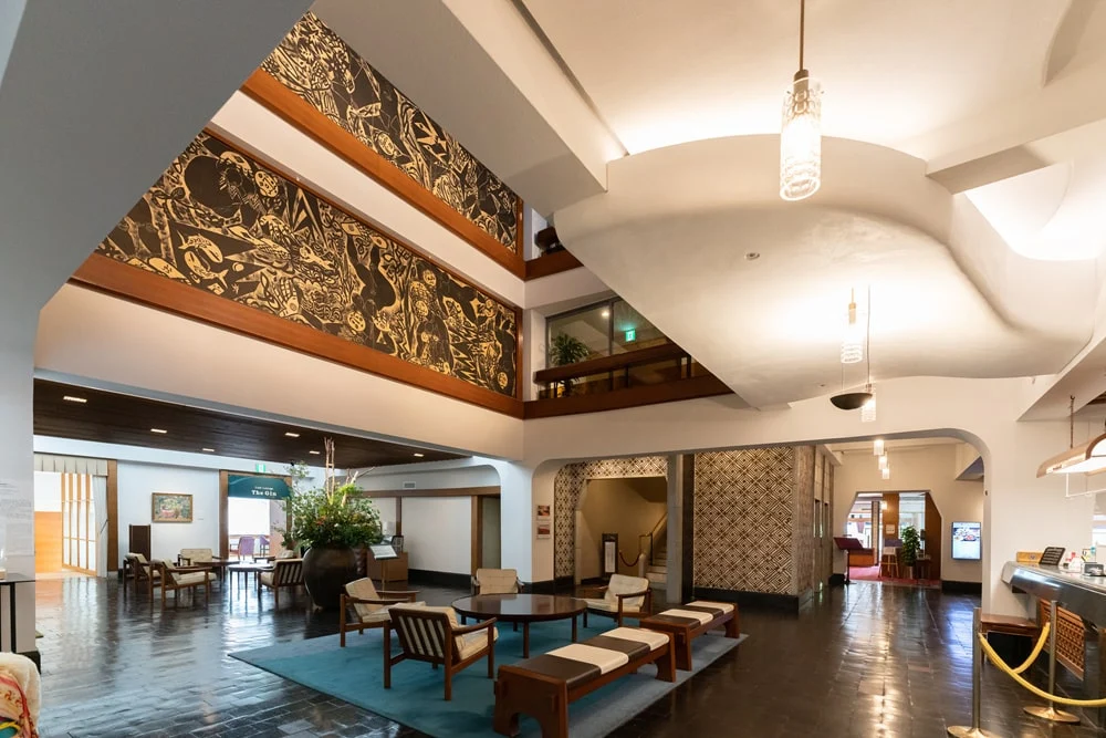
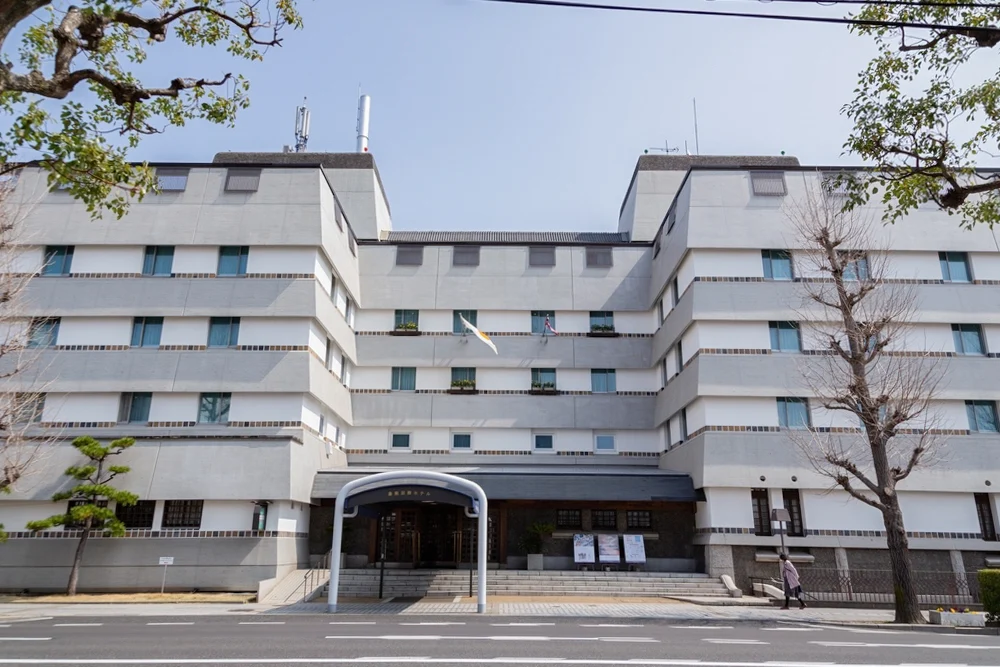
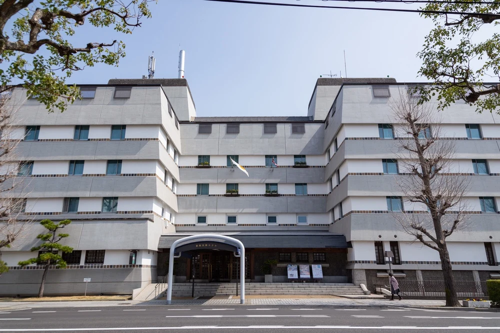
Our founder at Urabe Design, Urabe Shintaro, has designed the Kurashiki International Hotel and Ohara Museum of Art, Bunkan.
Urabe has, of course, been influenced by the town of Kurashiki and Ohara Soichiro.
While designing concrete buildings, we have made efforts not to disrupt the town's landscape.
I believe the underlying philosophy was to "build new structures so that old buildings look better."
In every era, there is a collection of evidence that while being considerate of the surroundings, everyone living here has lived to be happy.
That is why I hope that the people living in Kurashiki will become more aware of the charm of their town.
I would be happy if the Kurashiki Walking Map serves as an opportunity to learn about the history of how the current Kurashiki came to be.
The current Kurashiki is a treasure left by the changes of the times.
Recommended Ways to Enjoy the Kurashiki Walking Map
In terms of "knowing the changes of the town," this map can be used in various ways. If you have any recommended ways to enjoy it, please share.
Nakagawa
First, please visit the locations marked with pins on the map.
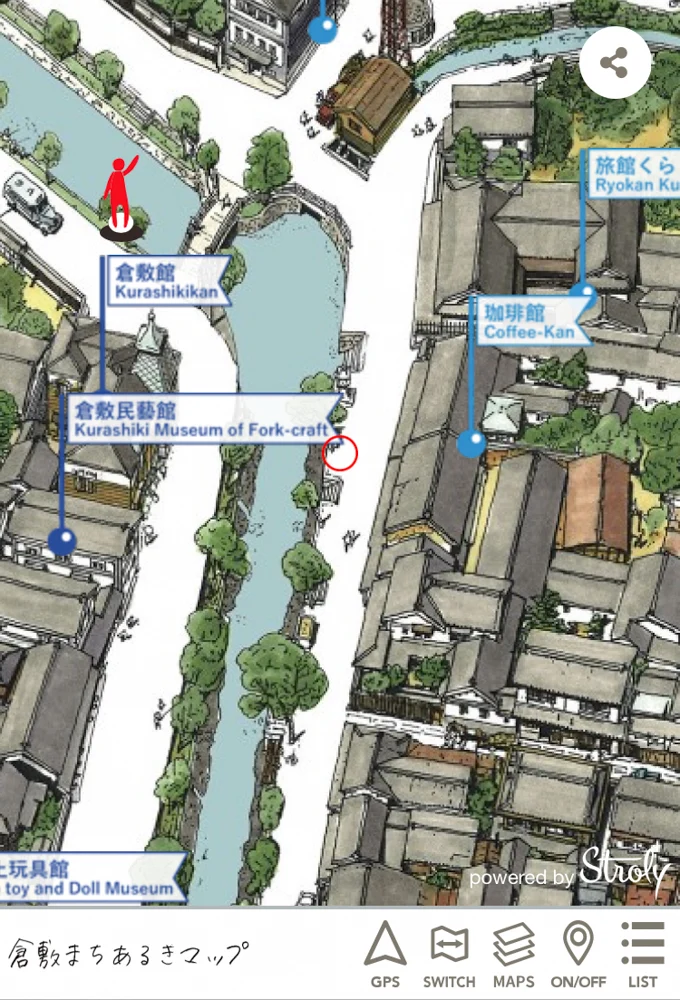
We have selected easy-to-understand locations to learn about the characteristics of Kurashiki.
In terms of buildings, from Kurayashiki to commercial facilities that have been revitalized from old houses.
In terms of non-building locations, we have marked places like Kurashiki River and Achi Shrine.
Komoto
From the perspective of "the flow of time," I recommend walking around the Honmachi area.
There are Edo-style Kurayashiki like Inoue House, as well as Western-style buildings like Sanraku Kaikan.
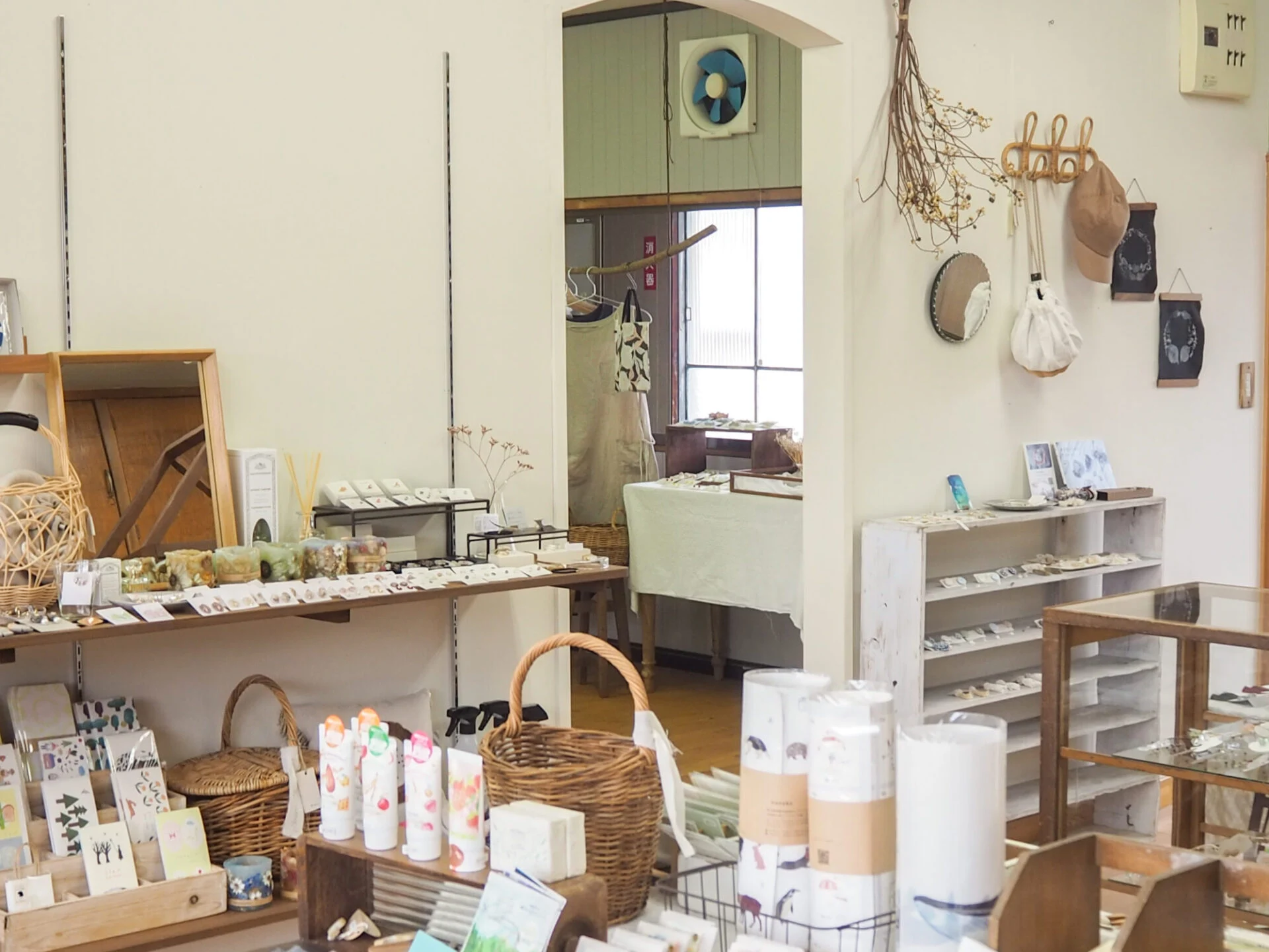
There is also Kurashiki Craft Work Village, which was created by renovating an old house, making it a place where you can clearly see the changes in the town.
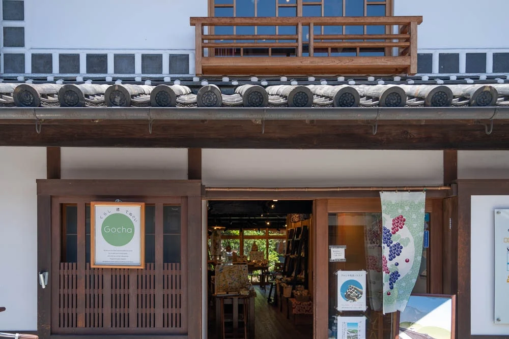
Shimizu
As you walk through the town, when you arrive at your destination, open the Kurashiki Walking Map.
Those who can compare the past and present are, after all, the residents.
This is not a tourist guide map, but rather, I hope it can be used as a exploration map to discover the charm of the town.
"It used to be a town like that, but it's changed a lot," or "It's become too modern, and I don't understand it anymore," I would be happy if these thoughts prompted someone to walk around the town.
Conclusion
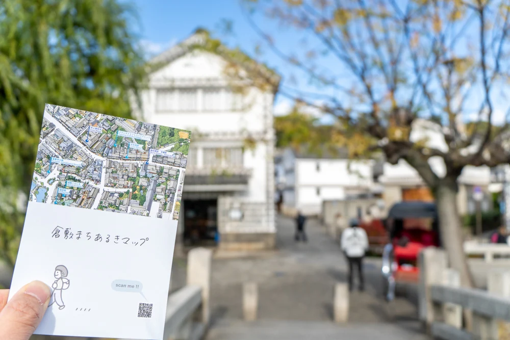
Walking around the town with the Kurashiki Town Walking Map in hand, time flew by in an instant.
Every time I reached a destination, I felt excited, wondering, "What did the scenery look like before?" and "When was this building constructed?"
I thought it would be even more enjoyable to walk around the town with friends or family who have lived in Kurashiki for a long time.
There are still many things I don't know about the city center of Kurashiki.
I also plan to head out into the town again with the Kurashiki Town Walking Map as my companion.
Articles about Naoki Okamoto